

More Top Stories


Tapaitau appeal dismissed
17 July 2024

Challenging ‘rape culture’
8 July 2024

Ruta Mave: Can you trust your government?
22 July 2024


TB cases detected
1 June 2024


Touch trio ready for World Cup
23 May 2024


Man accused of raping minors face more charges
30 May 2024


‘Budget prioritises vulnerable’
16 May 2024


Alleged rapist in remand
27 April 2024

Rarotonga residents push back on water tariff plan
12 April 2024
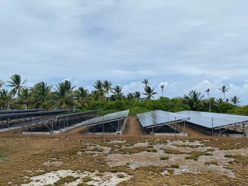
Solar power battery repairs ‘could take up to 12 months’
15 April 2024
Cook Islands poised for highest Pacific growth
29 April 2024
Ex-DPM appeals ‘excessive sentence’, hearing date set
26 April 2024

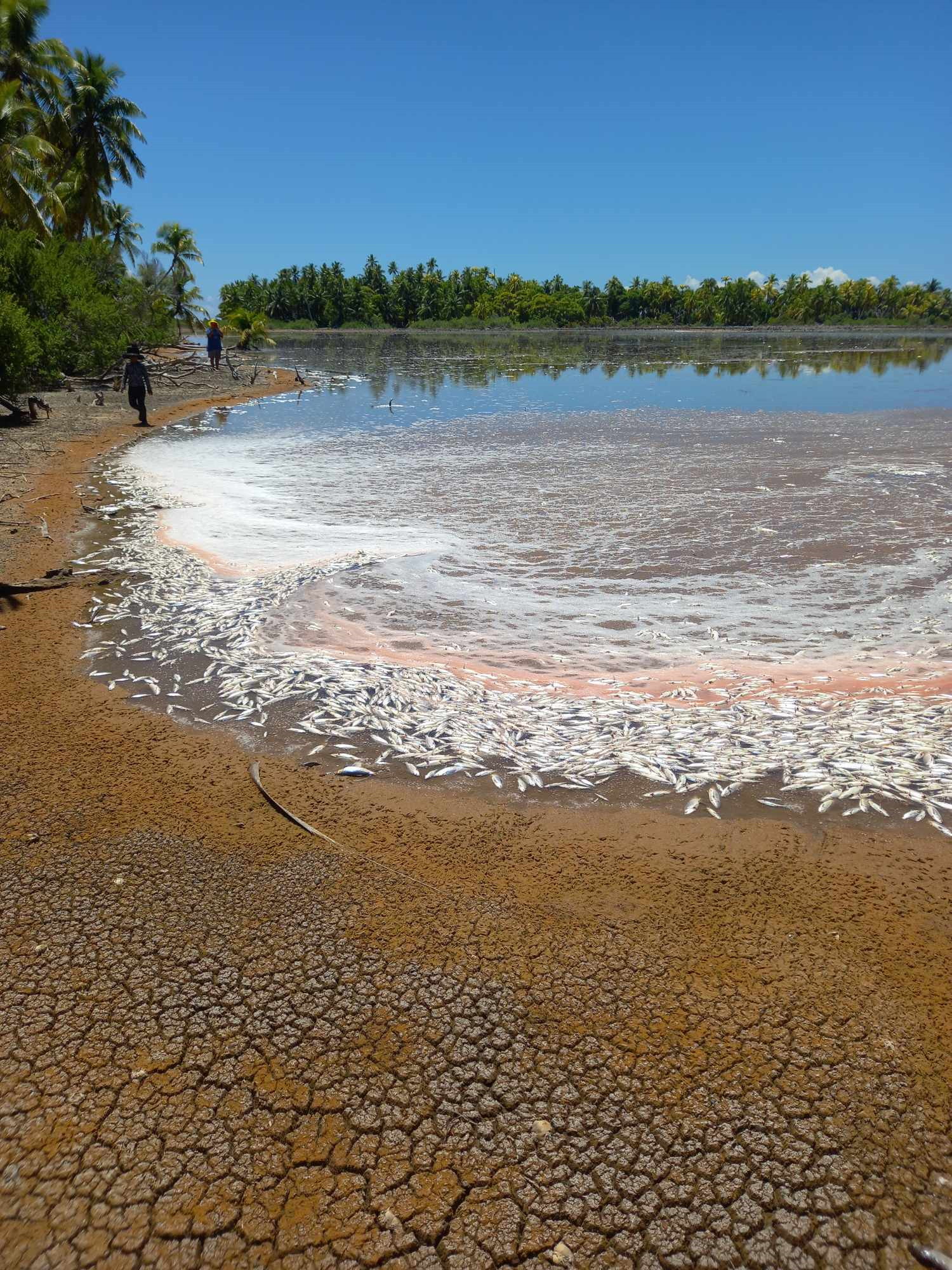
Mass milkfish die-off in Penrhyn raises concerns
3 April 2024

Regulator defends Starlink users
9 April 2024


Cook Islands set to play in new World Series
10 October 2023


Corruption report exposes ‘bribe and sexual favours’
17 January 2023

Moana target 2025 World Cup
11 November 2022
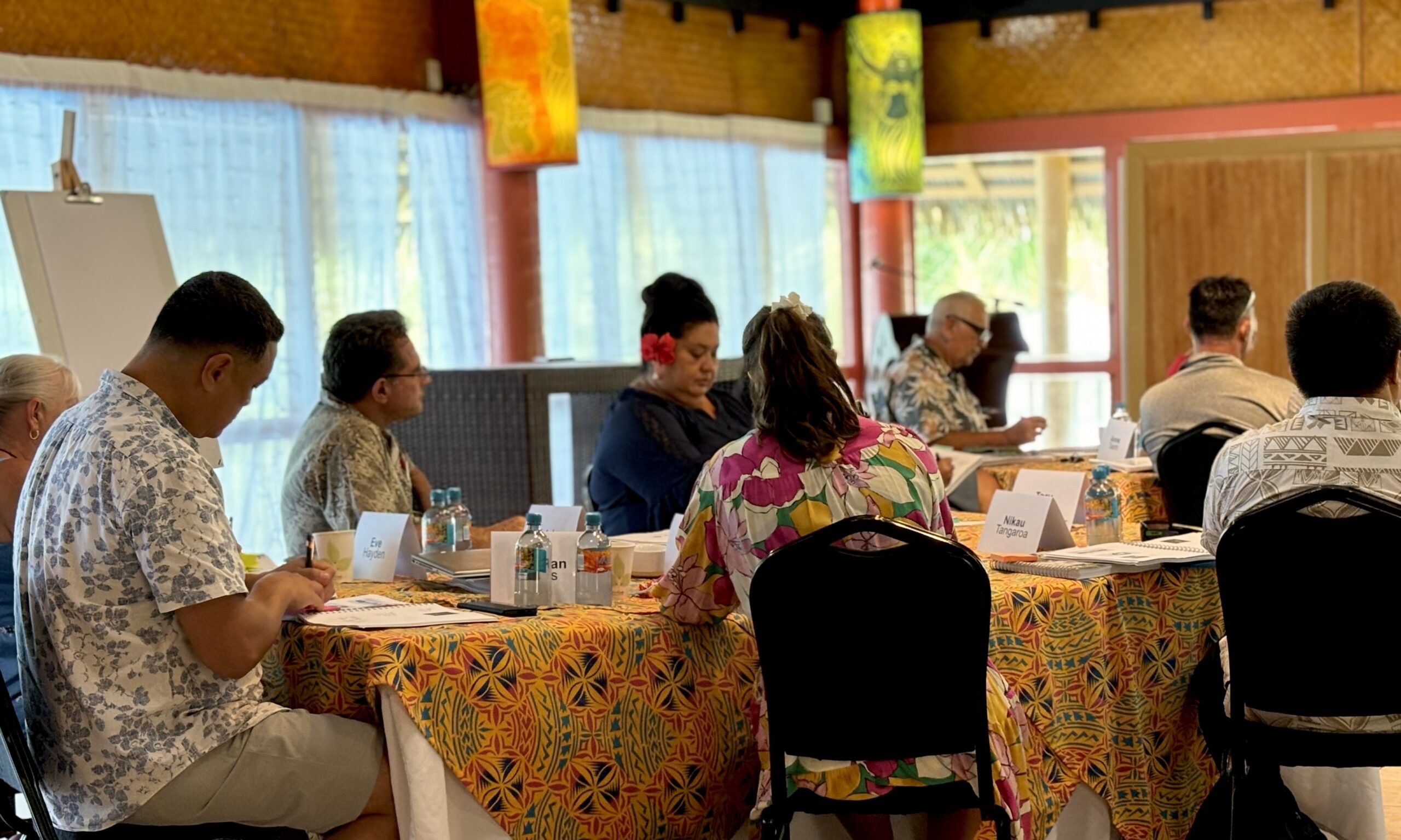
Identifying buildings for disaster response
Wednesday 1 February 2023 | Written by Melina Etches | Published in Local, National, Outer Islands
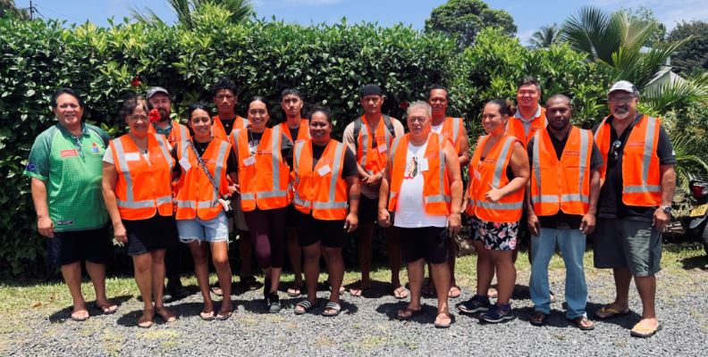
Director of EMCI, John Strickland and the PCRAFI surveyors team. 23013106
Emergency Management Cook Islands (EMCI) surveying team are conducting an exposure survey on all existing buildings including businesses and homes in Rarotonga, and later in Aitutaki.
Some members of the public are refusing the surveyors admittance in to their residential homes to have photographs taken of their properties - which will be respected.
EMCI Geoportal Coordinator, Stephano Rampling-Tou says the survey is to identify all the buildings with GPS coordinates and collect details on the houses that have water tanks, electricity and communications.
“The awareness has gone out and most people are pretty acceptable of the survey, but we have had a few complaints.
“This survey plays a significant role in the future planning in case of a disaster,” said Rampling-Tou.
“We are not collecting any personal information.”
When homes are not identified and mapped and when the time comes for a humanitarian response, your home your house won’t be seen on that data base, he added.
The surveyors are also collecting images of all households (from outside), and with the GPS coordinates, in the future all the emergency services can use that data to apply to their integrated systems, said Rampling Tou, “it’s about safety for all.”
The surveyors are conducting the survey with community Puna members and are clearly identified with orange hi viz vests and official name tags
They all have clear instructions to only collect necessary information according to the survey, no conversations with owners of the buildings or homes are needed.
The survey started in January from Tupapa, this week they have reached Murienua in Arorangi.
The Cook Islands is one of the five Pacific Island Countries (PICs) taking part in a regional disaster risk-focused project - the Capacity Building on the Hazard and Exposure Database for Pacific Catastrophe Risk Assessment Financing Initiative (PCRAFI), which aims to provide the PICs with disaster risk modelling and assessment tools.
EMCI director John Strickland says the aim of this PCRAFI II is to build the capacity of country governments to collect and update on exposure data for the Cook Islands at the national and regional level.
The data collected will assist EMCI and Government in making risk-informed decisions for the development and growth of Cook Islands and inform disaster risk reduction and disaster response activities in the country.
“Having a baseline data of what we have on the island is critical to the success of our planning and response to any national event,” said Strickland.