

More Top Stories


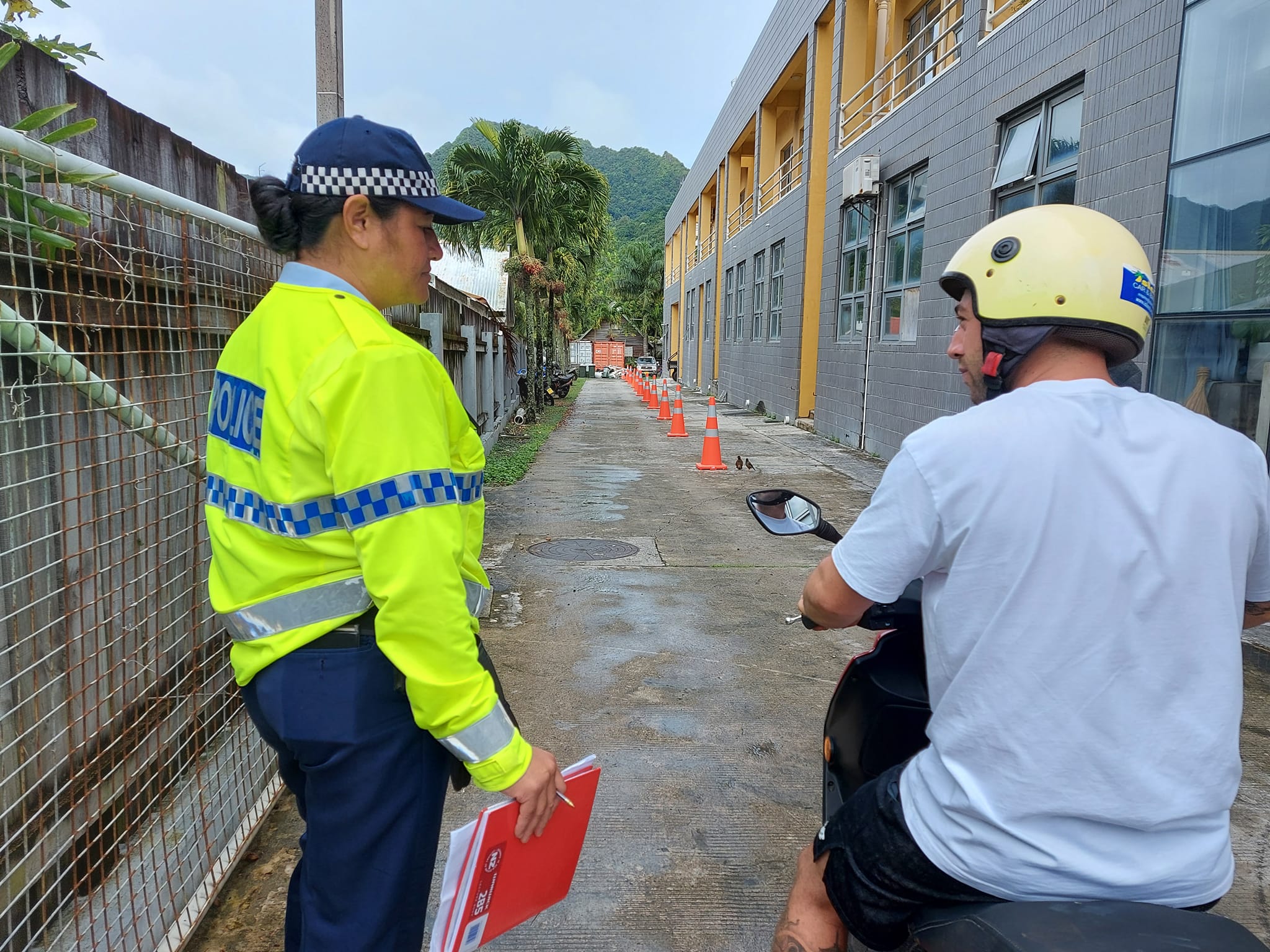
Tapaitau appeal dismissed
17 July 2024

Challenging ‘rape culture’
8 July 2024

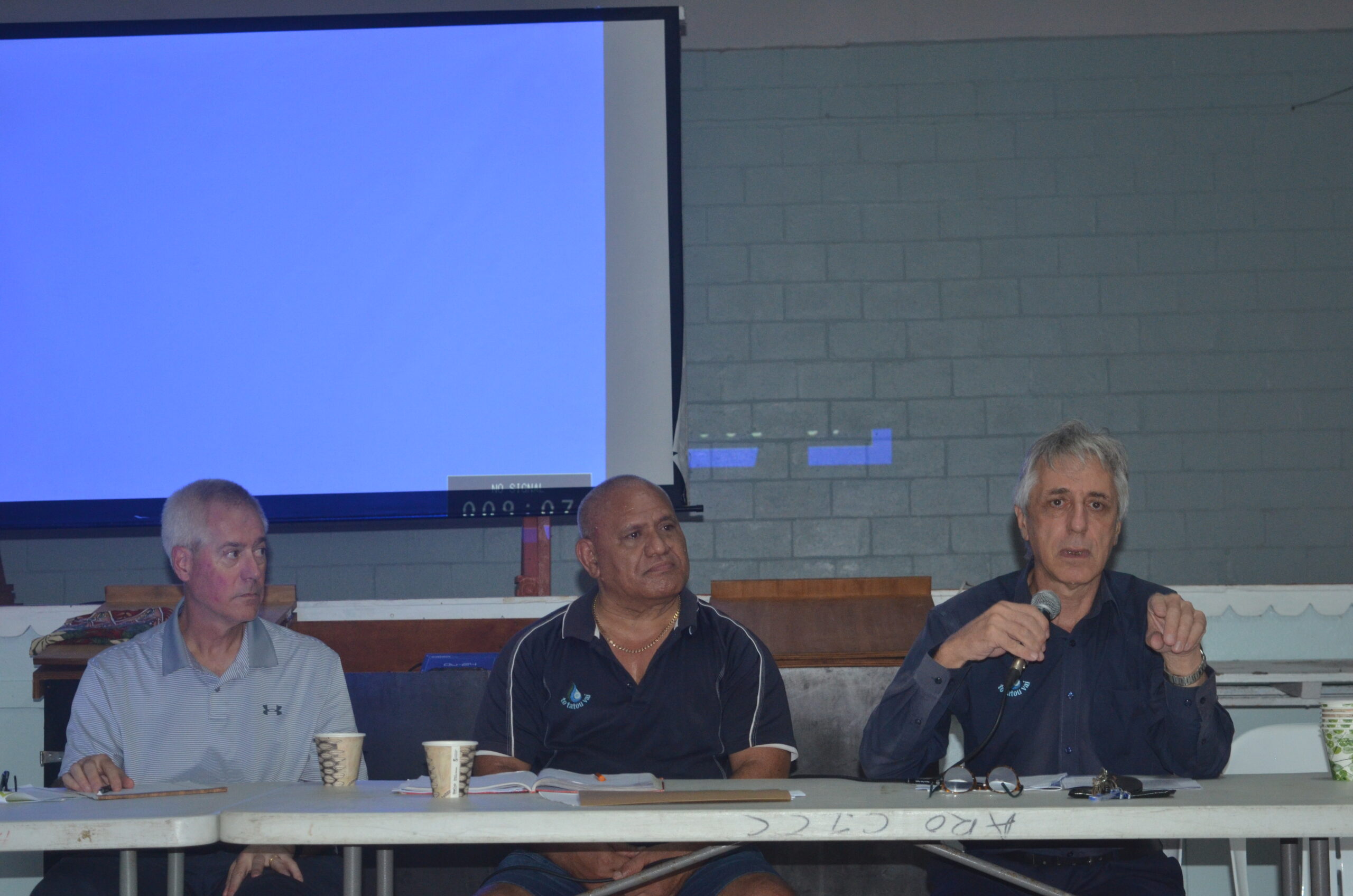
Ruta Mave: Can you trust your government?
22 July 2024


TB cases detected
1 June 2024


Touch trio ready for World Cup
23 May 2024


Man accused of raping minors face more charges
30 May 2024


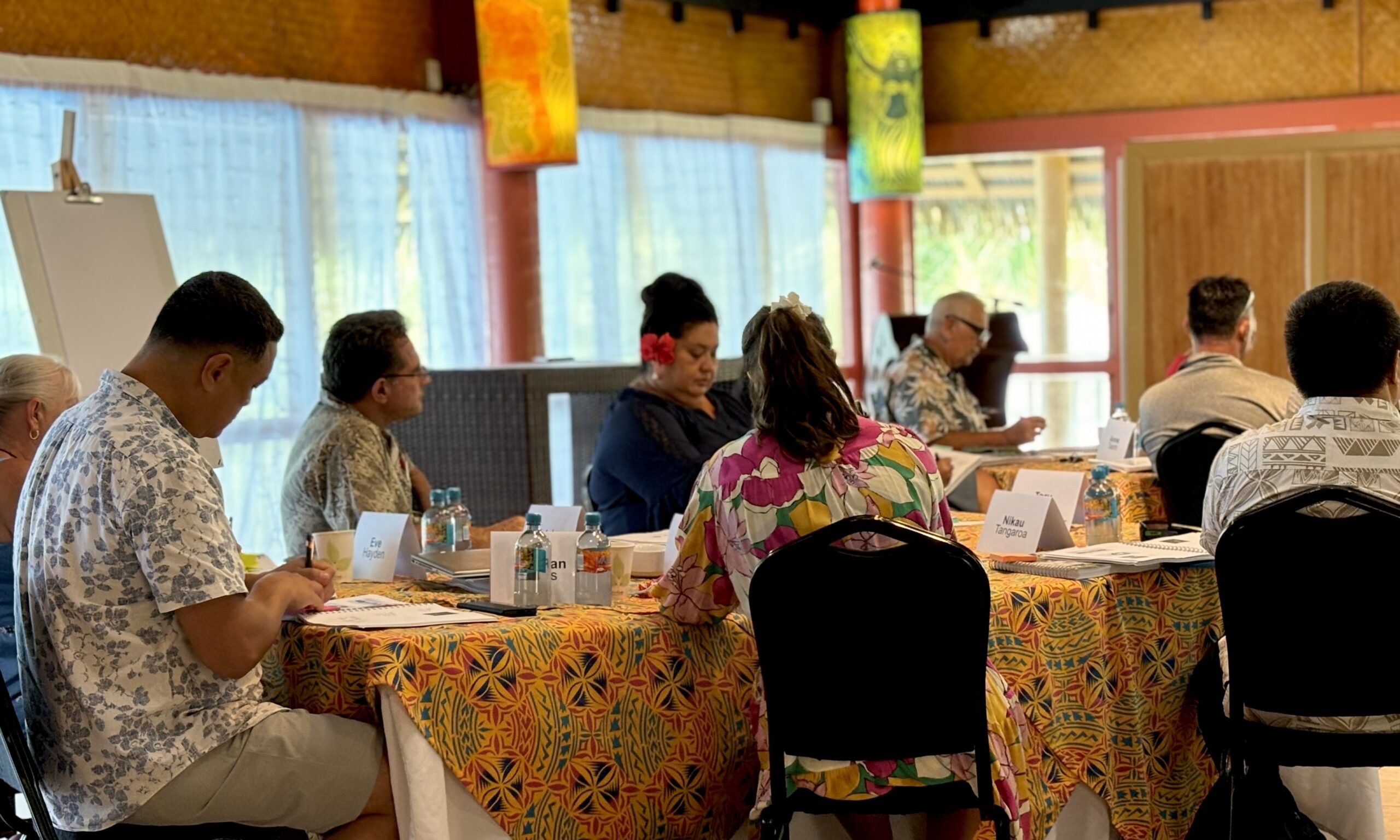
‘Budget prioritises vulnerable’
16 May 2024


Alleged rapist in remand
27 April 2024

Rarotonga residents push back on water tariff plan
12 April 2024
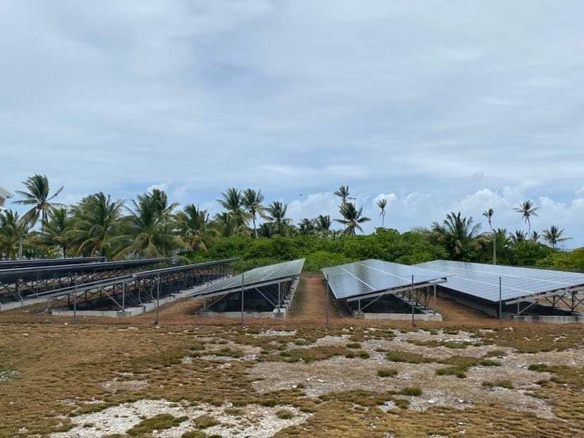
Solar power battery repairs ‘could take up to 12 months’
15 April 2024
Cook Islands poised for highest Pacific growth
29 April 2024

Ex-DPM appeals ‘excessive sentence’, hearing date set
26 April 2024

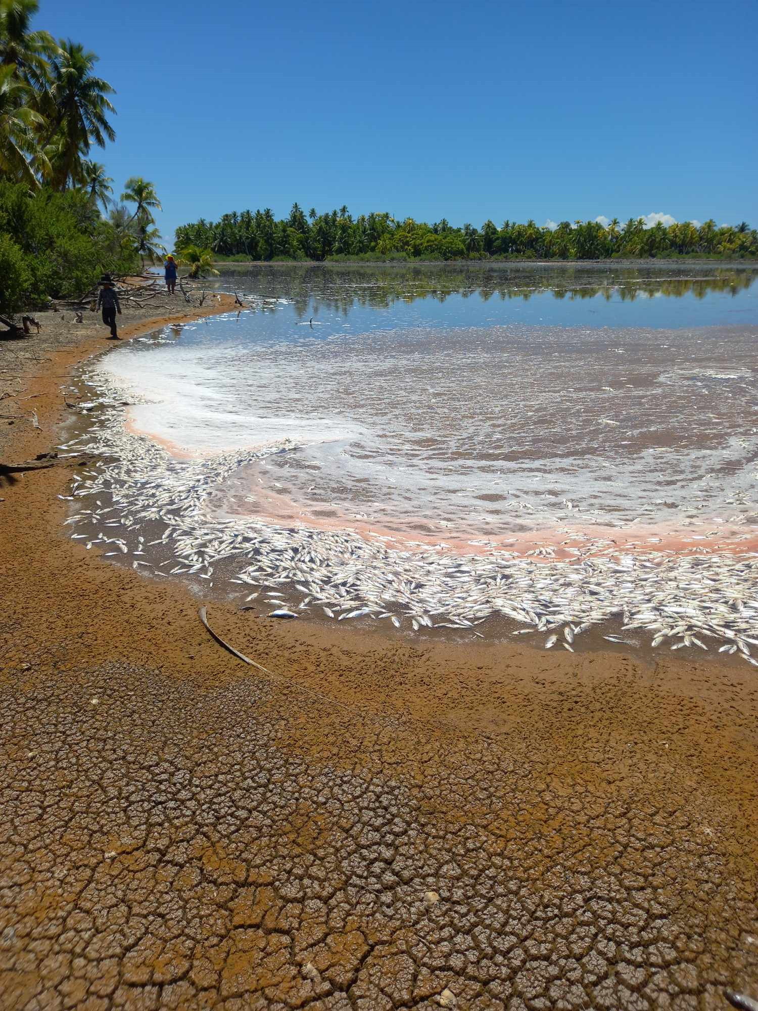
Mass milkfish die-off in Penrhyn raises concerns
3 April 2024

Regulator defends Starlink users
9 April 2024


Cook Islands set to play in new World Series
10 October 2023


Corruption report exposes ‘bribe and sexual favours’
17 January 2023

Moana target 2025 World Cup
11 November 2022
PORT VILA – Vanuatu residents who sheltered against Tropical Cyclone Ula overnight will now be assessing damage as the Category Four storm heads towards New Caledonia.
The Vanuatu National Disaster Management Office has given the all clear for Tafea province, as Cyclone Ula continues to move to the south of the group.
Locals reportedly took refuge in schools, churches and even caves, after disaster management authorities issued a red alert for islands in Tafea, the southernmost of Vanuatu’s six provinces, on Sunday.
The category four Severe Tropical Cyclone Ula was on Sunday tracking in a southerly direction close to Vanuatu’s southern islands.
The cyclone was forecast to bring heavy rain, winds of up to 185kmh, floods and landslides to the same area devastated by the largest cyclone in the South Pacific island nation’s history last year.
Yesterday, Vanuatu Meteorology services lead forecaster Fred Jockley said he had spoken to people on Aneityum, Futuna, and south Tanna.
“People are calling in and telling us that yes, they are receiving strong winds already, and people from Futuna have gone out to tighten their houses.”
Jockley said some village chiefs in the province had called local fishermen into shore, and had also warned people not to go out to sea.
The NDMO met with aid agencies yesterday and Operations Manager Peter Korisa said it gave his office an idea of which aid agencies were working where.
“There are some societies or NGO that have their own workers on those islands and it’s another resource we can capitalise on, and we can use them to provide a safe option and useful information we need,” Korisa said.
Vanuatu’s meteorological service earlier warned that Tafea province should expect damaging gale force winds, very rough seas, and heavy rainfall that could trigger flash floods.
The eye of the storm was not expected to pass over any islands but the ring of the cyclone was causing damage, Sam Bolitho, of aid agency Care Australia, said.
“Most people are sheltering in schools and churches, the only permanent buildings on these islands. Some people are also sheltering in caves.”
A level one hurricane warning was issued on Sunday for New Caledonia’s Maré island, in the Loyalty Islands southwest of Anietyum, while the remainder of New Caledonia was on “pre-alert”.
New Caledonia’s meteorological office said Ula was continuing to move closer to the southern part of the Loyalty Islands, which were expected to see heavy showers and some gusts on Monday morning.
The storm was expected to pass New Caledonia by Tuesday.
The tropical storm is expected then track southwards, then south eastwards offshore to the north but affecting weather on New Zealand’s North Island’s upper east coast around Tuesday and Wednesday.
Meanwhile, This year’s strong El Niño system is being blamed for an out-of-season cyclone forming in the central Pacific Ocean.
Cyclone Pali is currently above the equator in the ocean between the Marshall Islands and Kiribati, about 1300km southwest of Hawai‘i.
A forecaster at the US National Weather Service in Hawai‘i, Alistair Foster, says Pali is one of the earliest recorded in the central Pacifc, where the cyclone season is not due to begin for another five months.
Foster says it’s not unprecedented to have out-of-season cyclones in an El Niño year, with warm ocean temperatures allowing them to develop.
He says the system has winds of about 100 kilometres an hour, although it is not expected to affect Kiribati or the Marshall Islands. - PNC sources