

More Top Stories


Tapaitau appeal dismissed
17 July 2024

Challenging ‘rape culture’
8 July 2024

Ruta Mave: Can you trust your government?
22 July 2024


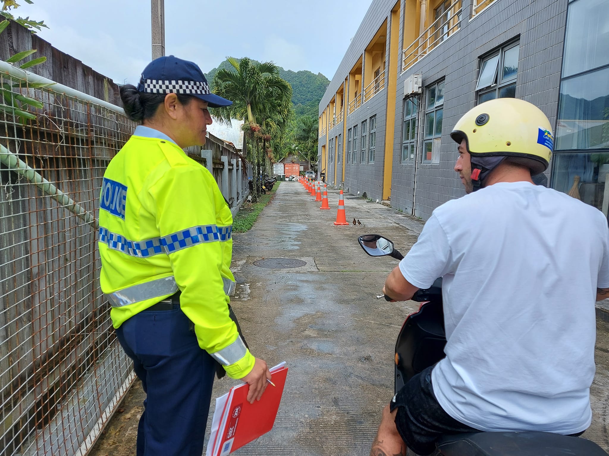
TB cases detected
1 June 2024


Touch trio ready for World Cup
23 May 2024


Man accused of raping minors face more charges
30 May 2024


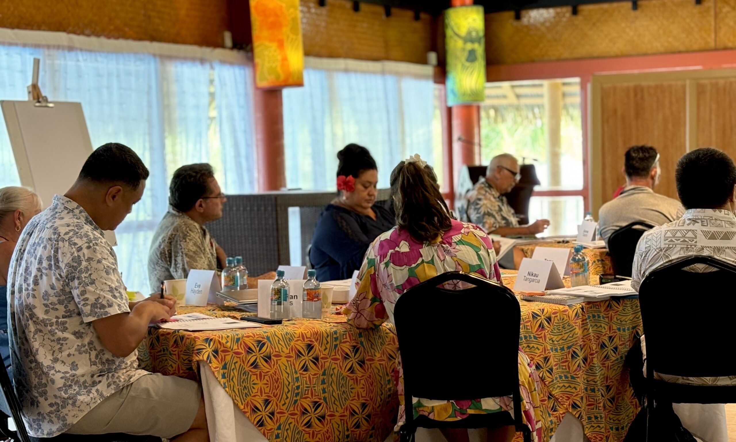
‘Budget prioritises vulnerable’
16 May 2024


Alleged rapist in remand
27 April 2024

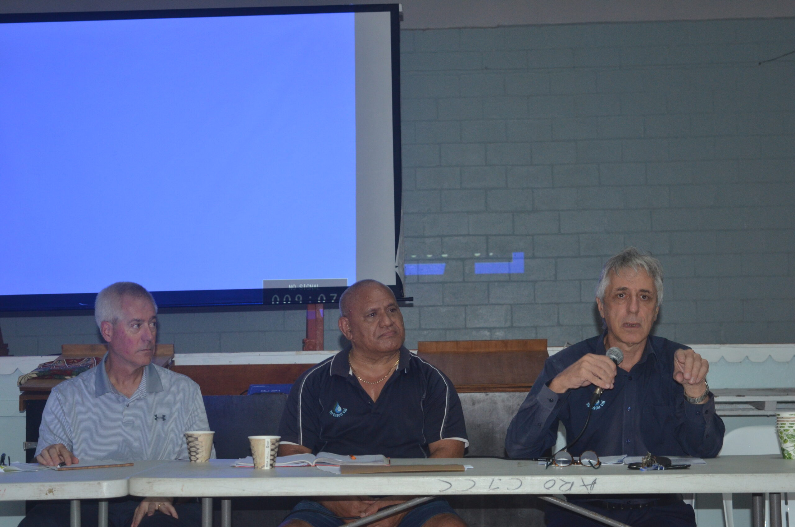
Rarotonga residents push back on water tariff plan
12 April 2024
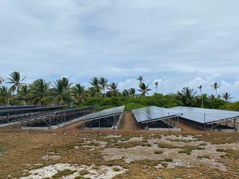
Solar power battery repairs ‘could take up to 12 months’
15 April 2024
Cook Islands poised for highest Pacific growth
29 April 2024

Ex-DPM appeals ‘excessive sentence’, hearing date set
26 April 2024

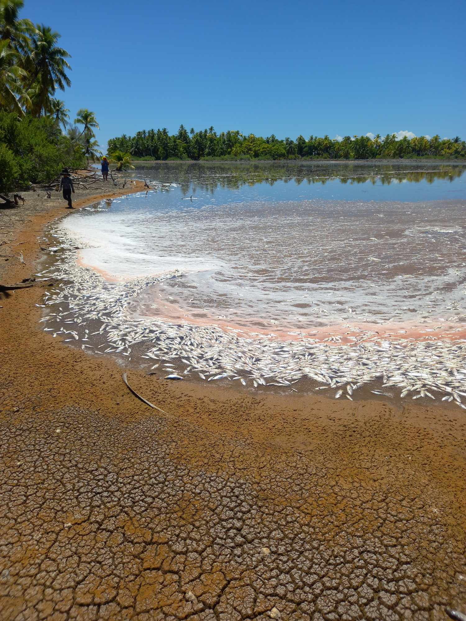
Mass milkfish die-off in Penrhyn raises concerns
3 April 2024

Regulator defends Starlink users
9 April 2024


Cook Islands set to play in new World Series
10 October 2023


Corruption report exposes ‘bribe and sexual favours’
17 January 2023

Moana target 2025 World Cup
11 November 2022
Palmerston blasted by high winds during “strong squall” event
Saturday 23 April 2022 | Written by Al Williams | Published in National, Weather
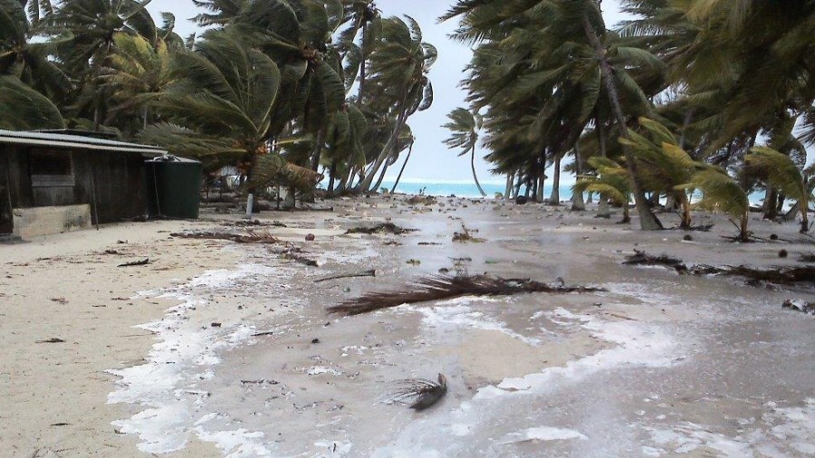
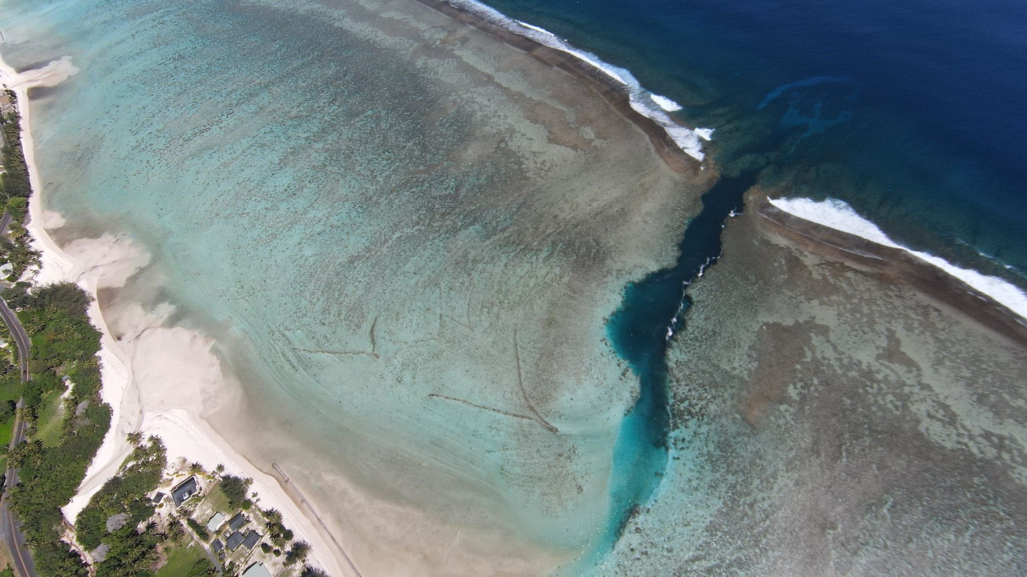
(File photo) Waves flood the front of a house on Palmerston Island. 16011801
Palmerston Island has been hit by a short and sharp blast of high winds causing damage at the northern tip of the island.
A number of structures were affected and debris scattered in what has been described as a “strong squall” which lasted only 15 minutes.
It arrived on the island as strong winds, flooding and heavy swell warnings were in place right across the Southern Cooks as unpredictable weather conditions persist.
Palmerston Island executive officer Arthur Neale said all the much of the Palmerston community was out cleaning up all the debris from the squalls on Thursday.
“As forecasted we had thunderstorms in the morning.
“At 7am we had a strong squall come in, more of a whirlwind or strong gust lasting 10 to 15 minutes, maybe by my estimates 50 to 70knots,” Neale said.
“It was localised affecting only the northern half of the island.
“Several old derelict buildings had some of their roofs blown off, there was a lot of rubbish, broken branches and coconut fronds
“All the rubbish is now all cleared up.
“Nothing to worry about, it is what to expect in a thunderstorm and squally weather, the trade winds are back.”
Stormy conditions continued on the island overnight Thursday with thunder and lightning, he said.
On Friday conditions had eased on the island with light winds and steady rain.
“All systems including electricity were not affected.
“This was a small localised event of a small area in the northern part of the island, rough estimation approximately an area of 500 metres x 500m.
“I suspect we experienced a small water spout/tornado, a localised squall gust.”
Meanwhile, a damaging heavy swell warning remains in place for the Southern Cooks.
The Southern Cooks is forecast to receive sea flooding of coastal areas especially during high tides through to midnight Friday while south easterly winds of 20 to 25 knots are forecast with damaging heavy swells up to four metres in height.
Winds of change have also brought a seasonal drop in temperatures to the Cook Islands in recent days as summer gives way to autumn.
Rarotonga and much of the southern group of islands are experiencing south-easterly winds leading to cooler conditions reflective of a change in season.
A ridge of high pressure is hanging about south of the Cook Islands bringing consistent south-easterlies and cooler temperatures.
A weak trough of low pressure with associated cloud and showers continues to affect the Northern Cooks.
In the Northern Cooks, a convergence zone has appeared as a band of clouds consisting of showers, with occasional thunderstorms.
Cloudy periods with some showers are forecast with isolated thunderstorms possible.
Moderate to fresh east to northeast winds are expected with moderate to rough seas