

More Top Stories


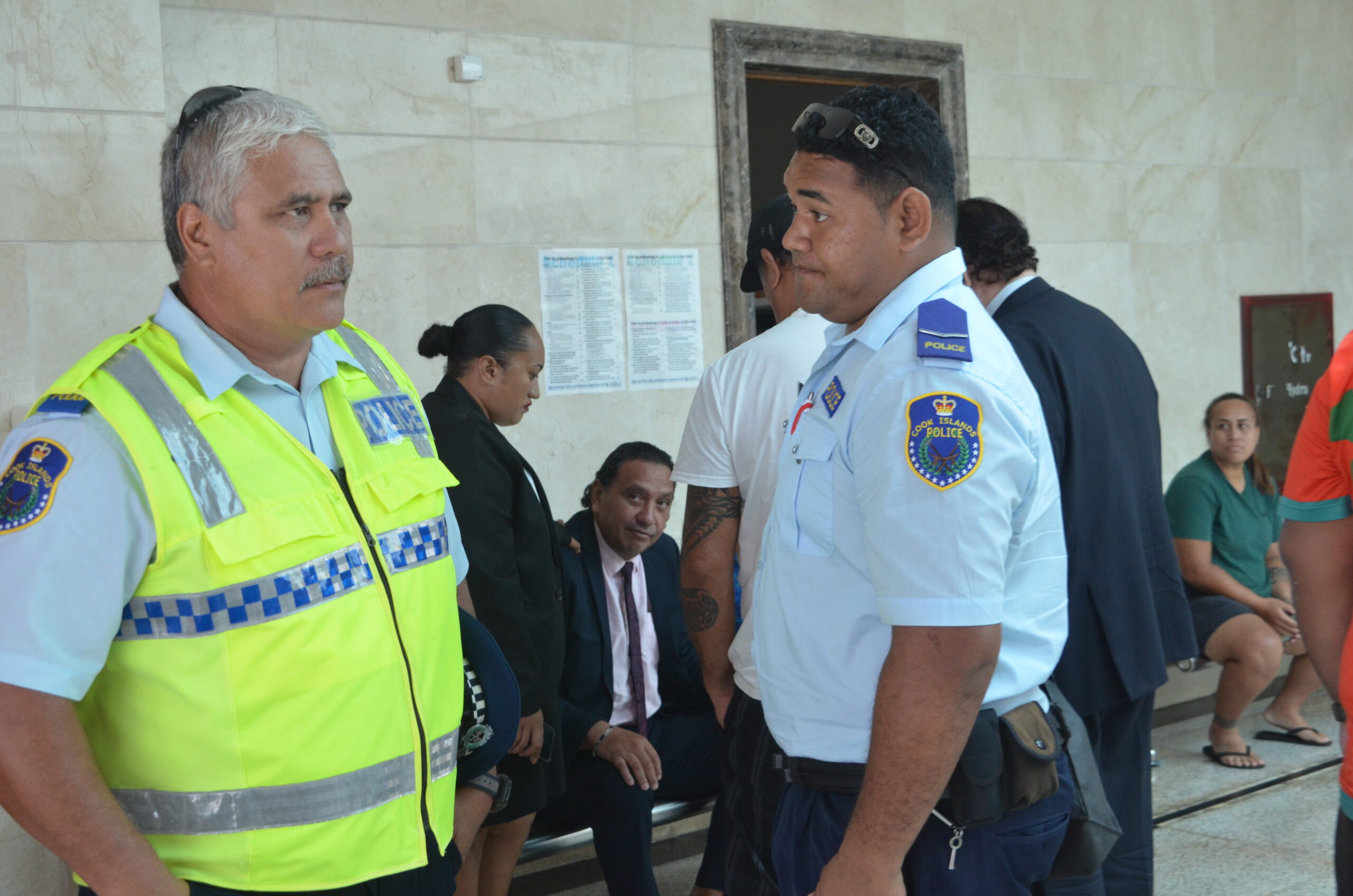
Tapaitau appeal dismissed
17 July 2024

Challenging ‘rape culture’
8 July 2024

Ruta Mave: Can you trust your government?
22 July 2024


TB cases detected
1 June 2024


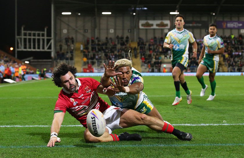
Touch trio ready for World Cup
23 May 2024


Man accused of raping minors face more charges
30 May 2024


‘Budget prioritises vulnerable’
16 May 2024


Alleged rapist in remand
27 April 2024

Rarotonga residents push back on water tariff plan
12 April 2024
Solar power battery repairs ‘could take up to 12 months’
15 April 2024
Cook Islands poised for highest Pacific growth
29 April 2024
Ex-DPM appeals ‘excessive sentence’, hearing date set
26 April 2024

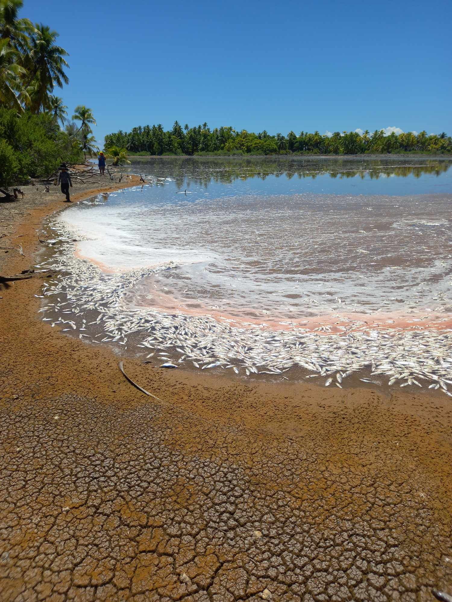
Mass milkfish die-off in Penrhyn raises concerns
3 April 2024
Regulator defends Starlink users
9 April 2024

Cook Islands set to play in new World Series
10 October 2023


Corruption report exposes ‘bribe and sexual favours’
17 January 2023
Moana target 2025 World Cup
11 November 2022
Don’t drop your guard yet, waves warning remains
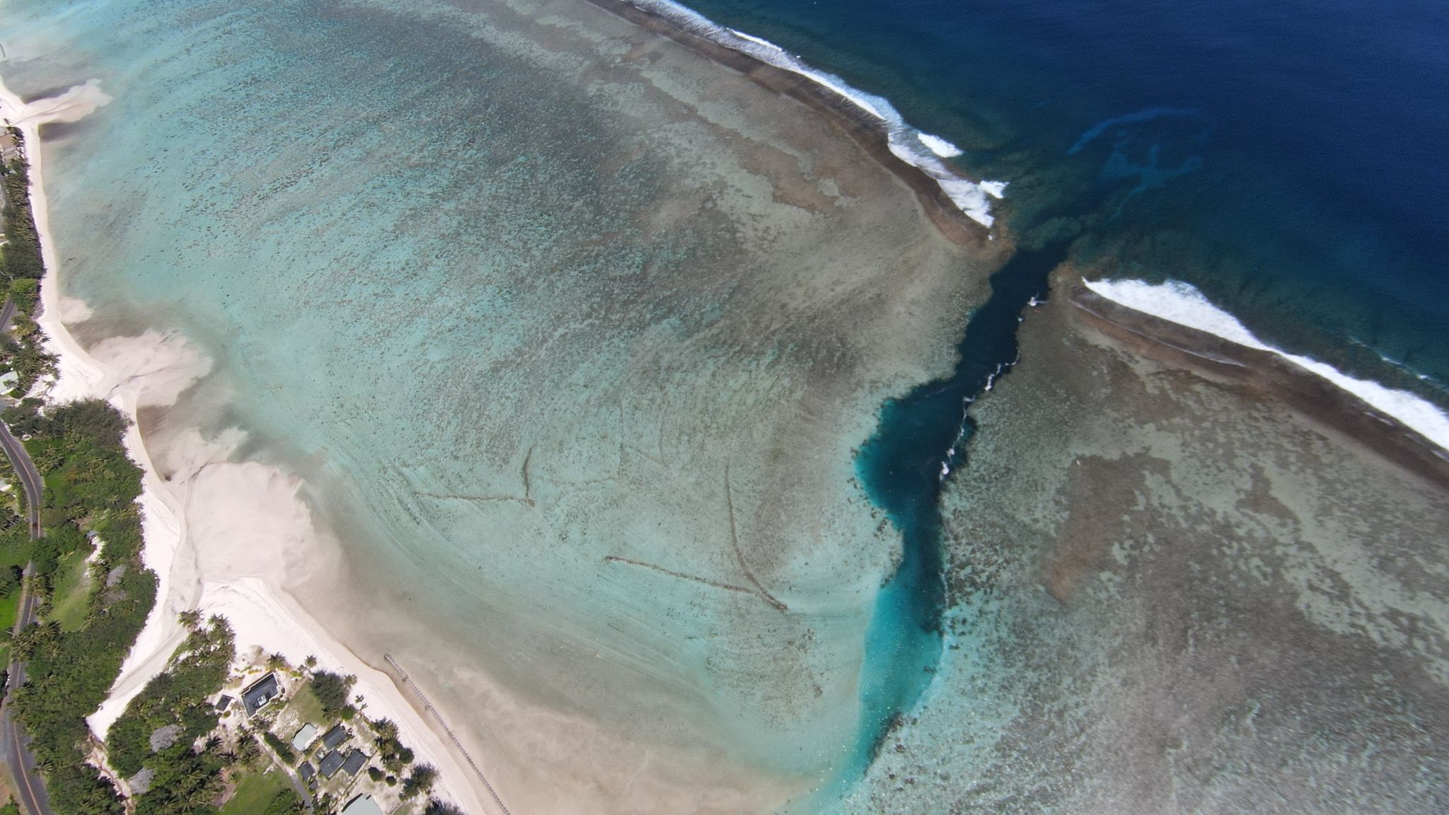
Wednesday 20 July 2022 | Written by Caleb Fotheringham | Published in National, Weather
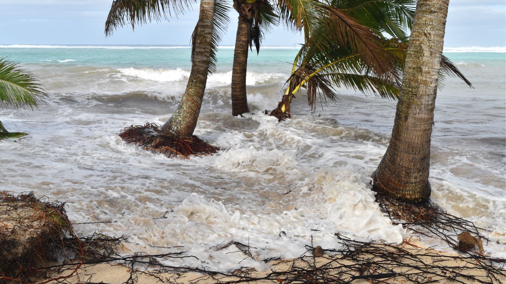
Photo: CALEB FOTHERINGHAM
The large swells did not arrive on Tuesday as forecast, however, Cook Islands Meteorological Service director Arona Ngari says it’s too early to relax.
“Unfortunately, the waves do not tell us the ETA (expected time of arrival) so warnings are there for people to just wait for the worst-case scenario,” Ngari said.
By the time this went to print the waves had not reached Rarotonga.
“At this stage it’s still going as forecasted because the models are showing these things will eventually happen on the south eastern side,” Ngari told Cook Islands News last night.
He could not say how these waves would compare to last week’s swell that left extensive damage to Rarotonga’s south side but added it could be comparative.
Ngari said the impending swells and the swell from last week were generated from the same weather event – an anti-cyclone from New Zealand.
He also said wind was associated this time which would enhance the capability of the swells.
Wave conditions were forecast for all the Southern Group islands to reach 4 to 5 metres on Tuesday night which would last until Thursday.
Ngari said the high tides were also not a king tide but a high tide associated with swell.
“A king tide is normally associated with the gravitational pull of the earth and the moon.”
Meanwhile, Captain Tama’s Lagoon Cruises were still operating in the Muri Lagoon on Tuesday.
“I’m just going to see what happens after work if we have to pull out our boats,” owner Tamaiva Tuavera yesterday said.
“I don’t know it might not get here.”
Tuavera said he was affected by the surges last week that damaged part of his deck.