

More Top Stories
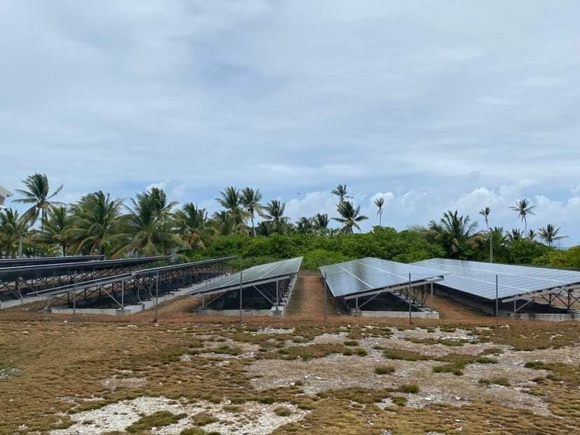
Solar power battery repairs ‘could take up to 12 months’
15 April 2024

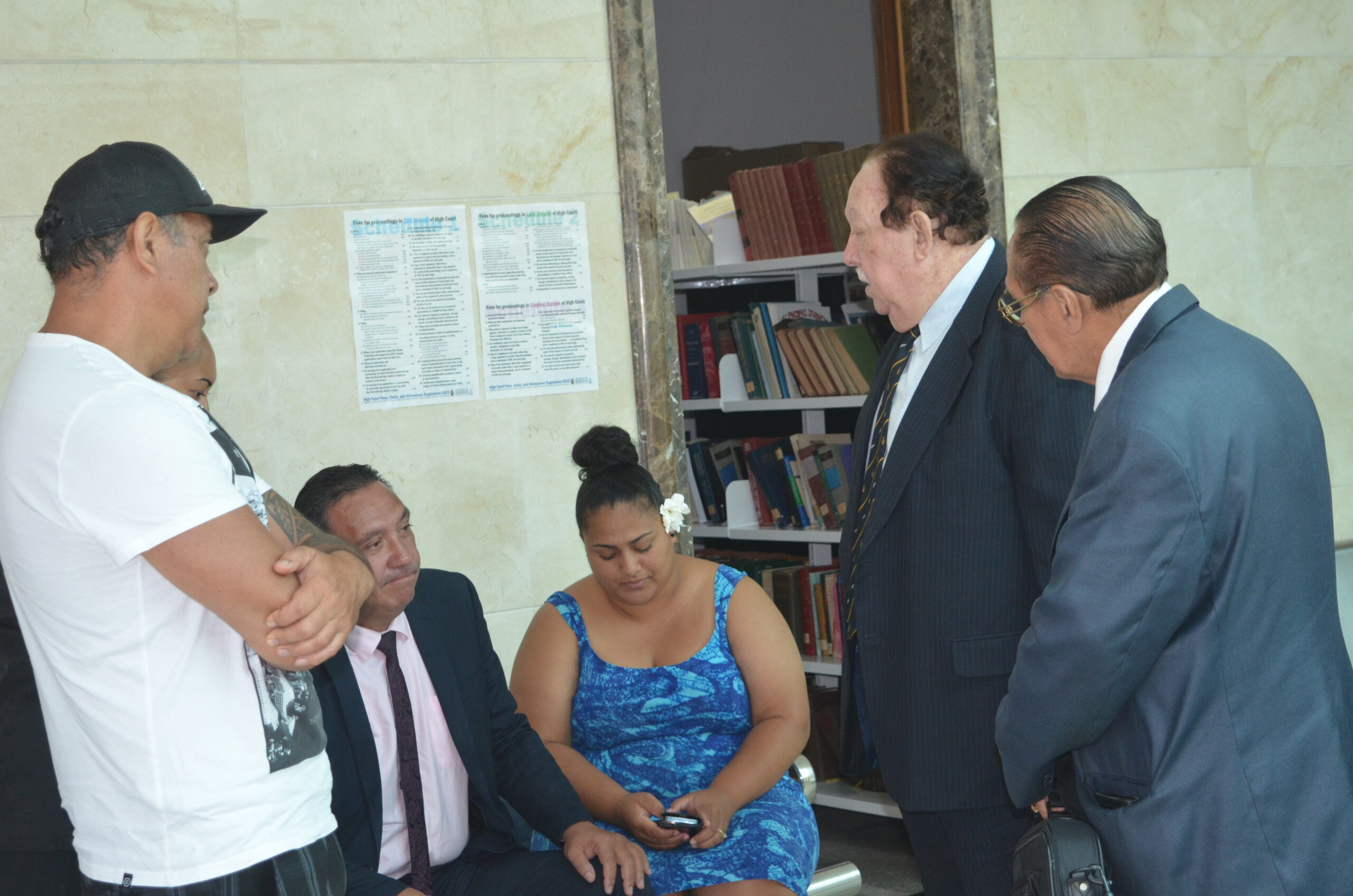

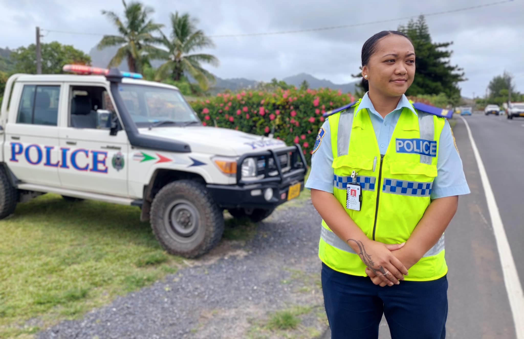
Police shortage leads to drop in checkpoints
9 April 2024

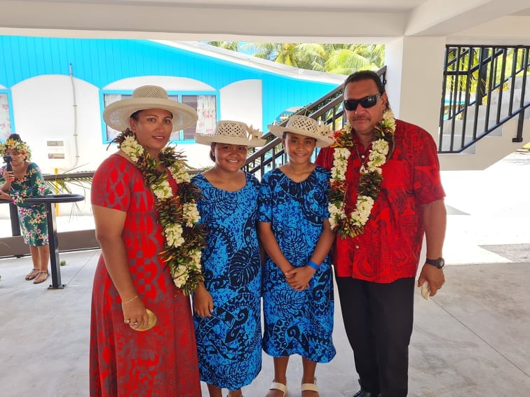
Sarakura declared new Penrhyn MP
16 March 2024
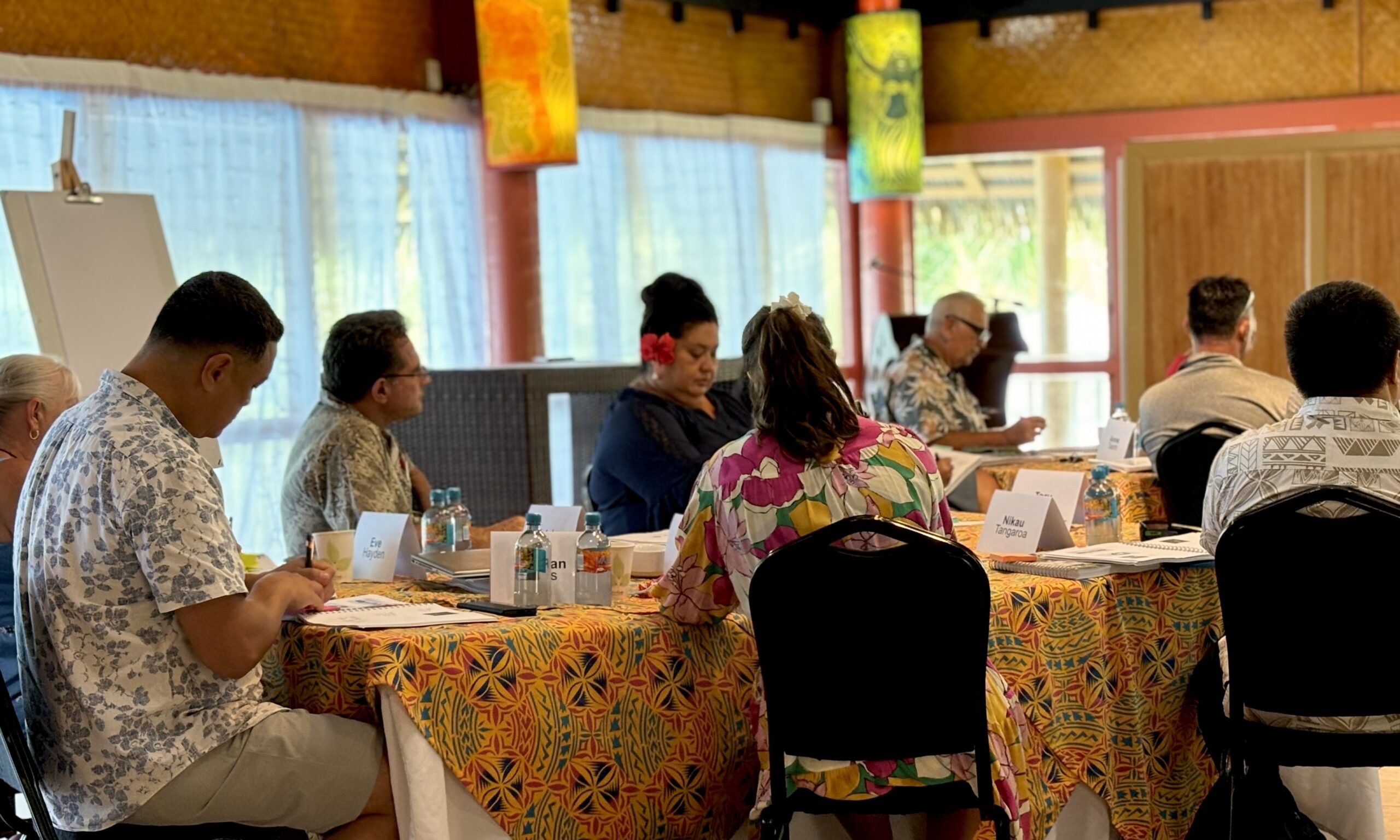
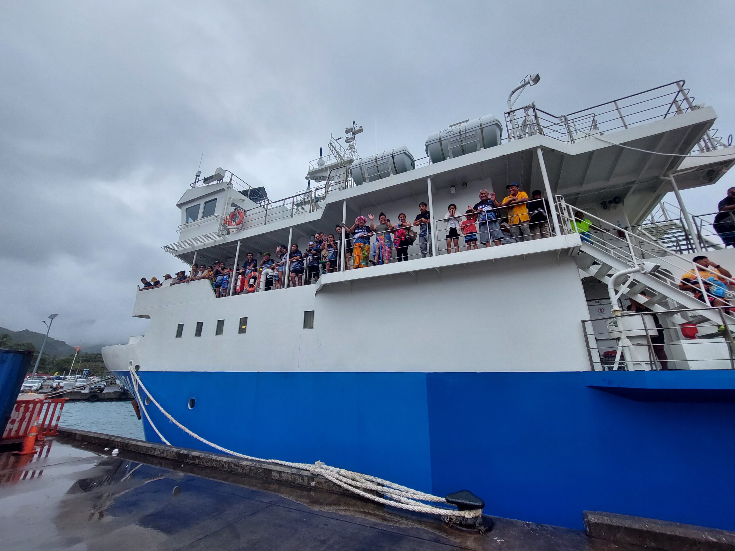
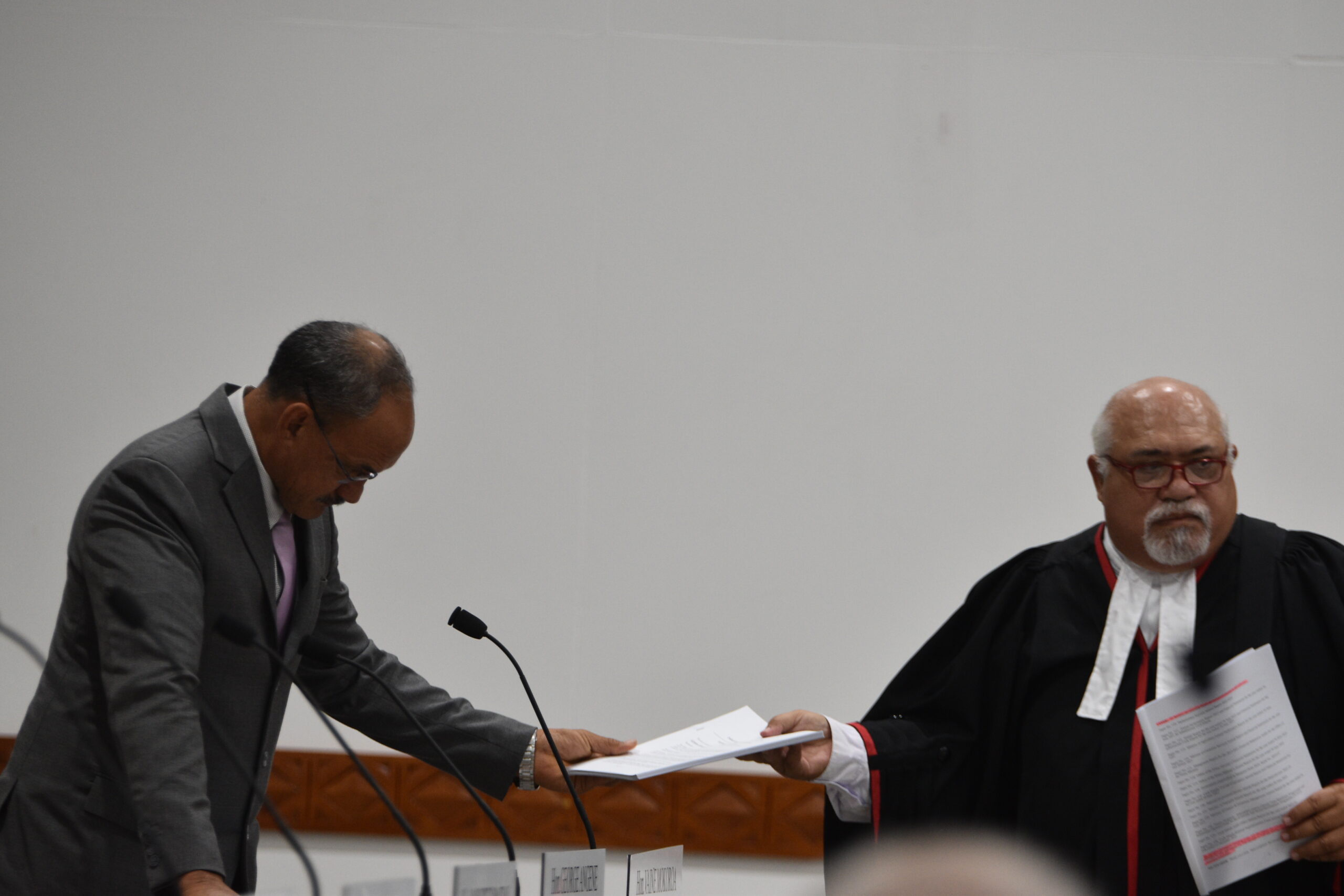
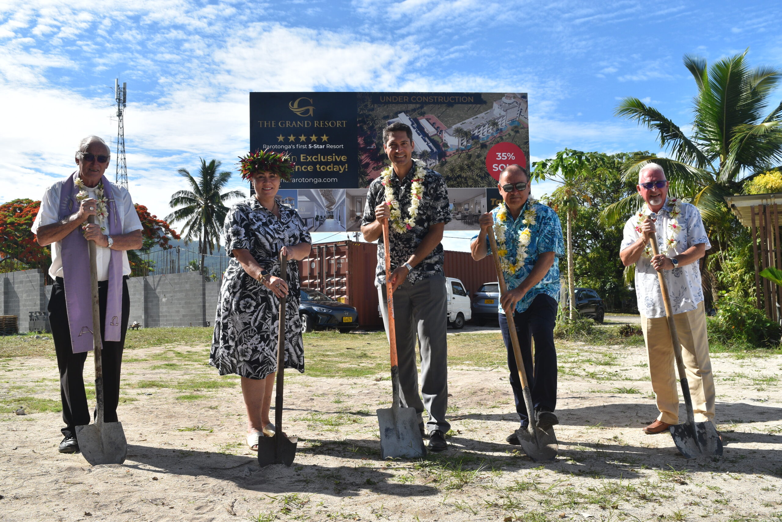
Govt says $1.3m invested in Lady Samoa charter
22 February 2024


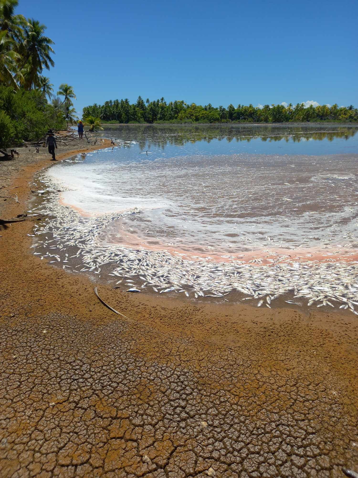
Mass milkfish die-off in Penrhyn raises concerns
3 April 2024

Regulator defends Starlink users
9 April 2024

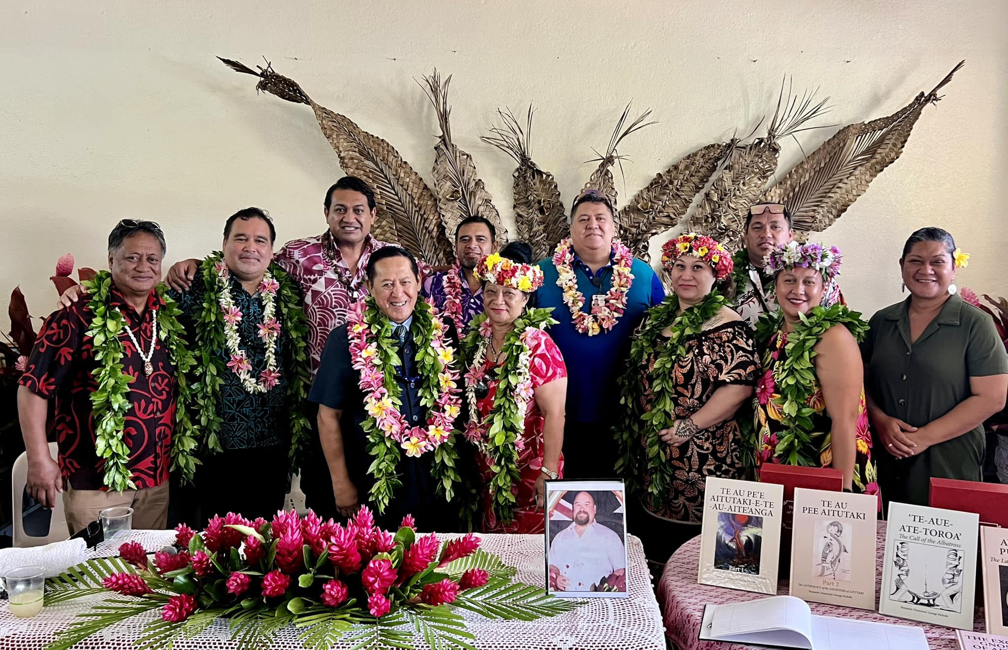
Aitutaki’s heritage preserved in new anthology
4 January 2024
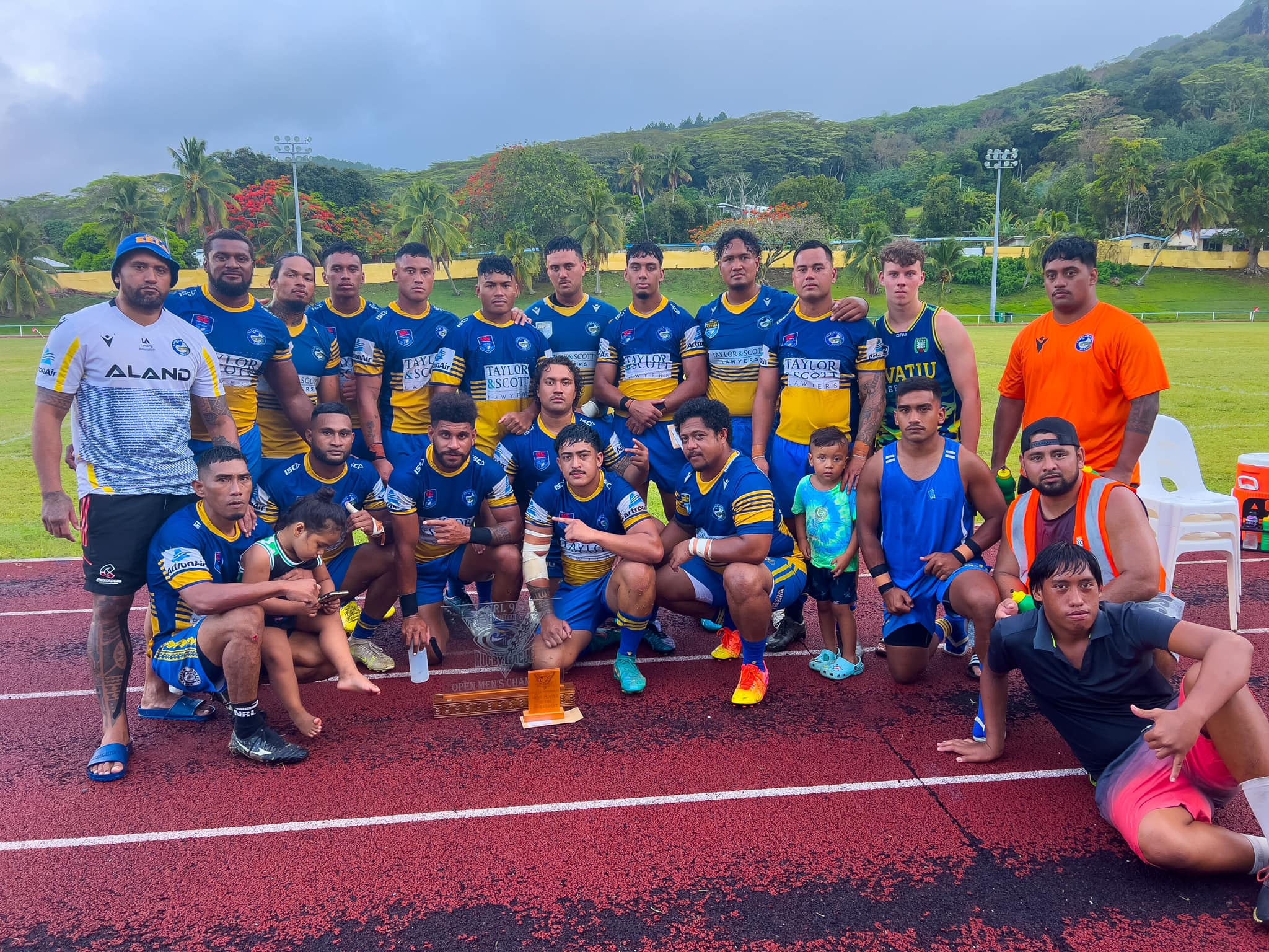
Avatiu Eels retain Nines title
8 January 2024

Beddoes crowned top athlete
8 January 2024

NRL player Dargan dies in Aitutaki motorcycle crash
24 December 2023

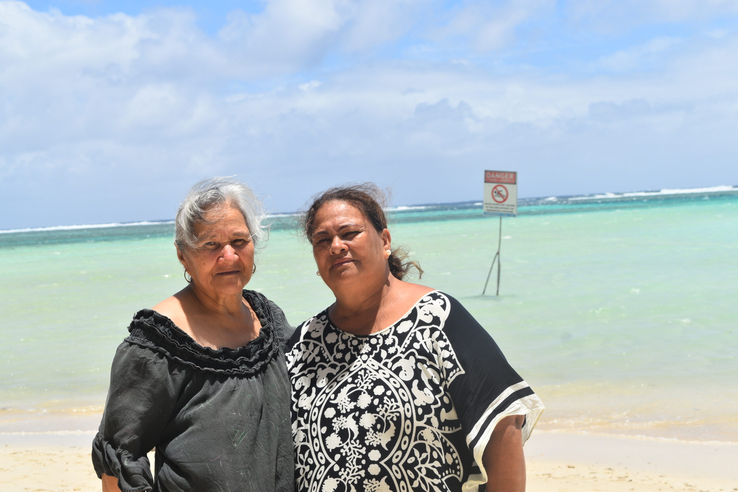
‘Please heed the signs’: resident makes plea to tourists
20 December 2023

Cook Islands set to play in new World Series
10 October 2023


Corruption report exposes ‘bribe and sexual favours’
17 January 2023
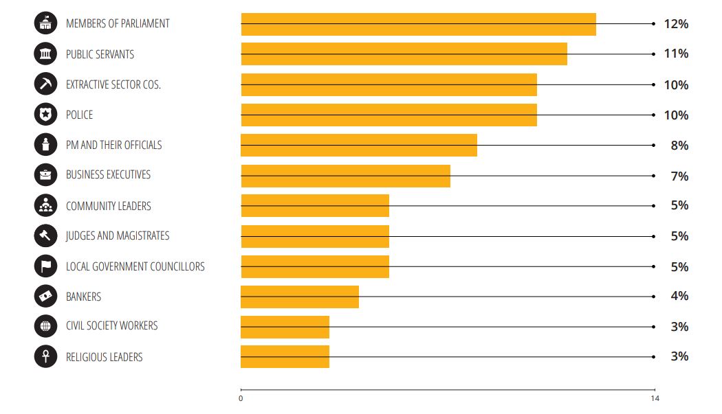
Corruption in the Cook Islands?
21 January 2023

Moana target 2025 World Cup
11 November 2022
New charts to make navigation safer
Tuesday 20 October 2015 | Written by Rashneel Kumar | Published in Local
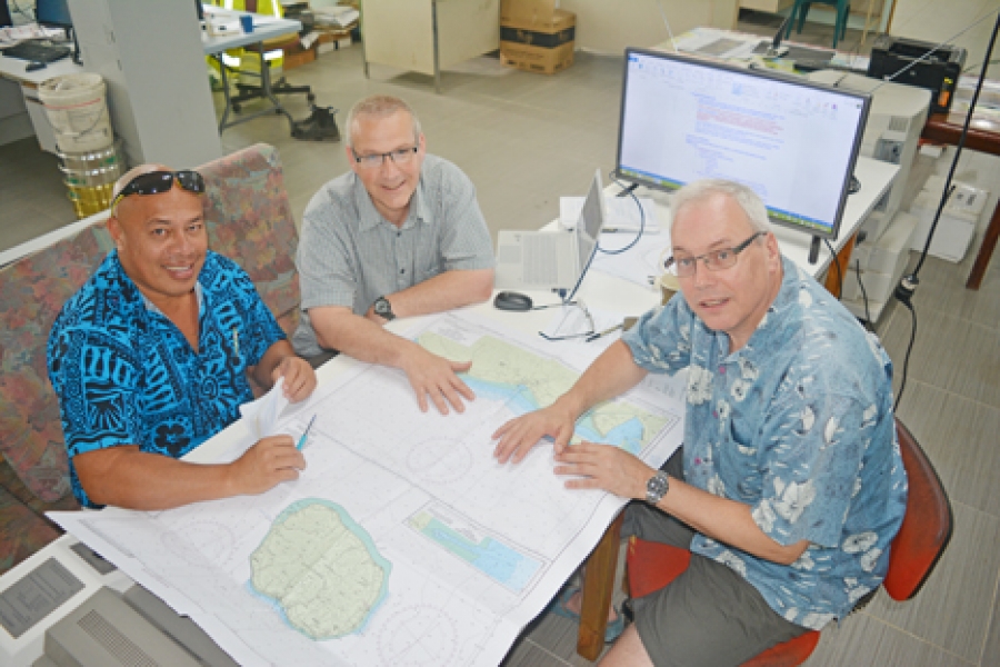
Cook Islands principal hydrographer Vaipo Mataora, Land Information New Zealand (LINZ) senior hydrographic surveyor Stuart Caie (centre) and LINZ national hydrographer Adam Greenland discuss the navigation chart project. 15101902
Land Information New Zealand (LINZ) which has the job of updating and improving the Cook Islands’ navigation charts, is waiting on the government to do its part before they can begin the five-year programme.
Land Information New Zealand (LINZ) which has the job of updating and improving the Cook Islands’ navigation charts, is waiting on the government to do its part before they can begin the five-year programme.
To continue reading this article and to support our journalism
CLICK HERE TO SUBSCRIBE NOW
for as little as $11 per month.
- Up to date and breaking news
- Includes access to Premium content
- Videos and online classifieds
Already a subscriber, click here