

More Top Stories

Local

Economy

Economy

Health

Court
Tapaitau appeal dismissed
17 July 2024

Health
Education
Challenging ‘rape culture’
8 July 2024

Editorials
Ruta Mave: Can you trust your government?
22 July 2024

National

Health

Economy
Environment

Economy


Health

Editor's Pick
TB cases detected
1 June 2024
Economy


Court
Economy

Crime

Crime

National

Health

Features

Sports
Touch trio ready for World Cup
23 May 2024

Football
Environment

Economy

Court
Man accused of raping minors face more charges
30 May 2024

Economy

National

National
‘Budget prioritises vulnerable’
16 May 2024

Economy

Court
Alleged rapist in remand
27 April 2024

Economy
Rarotonga residents push back on water tariff plan
12 April 2024
Economy
Environment
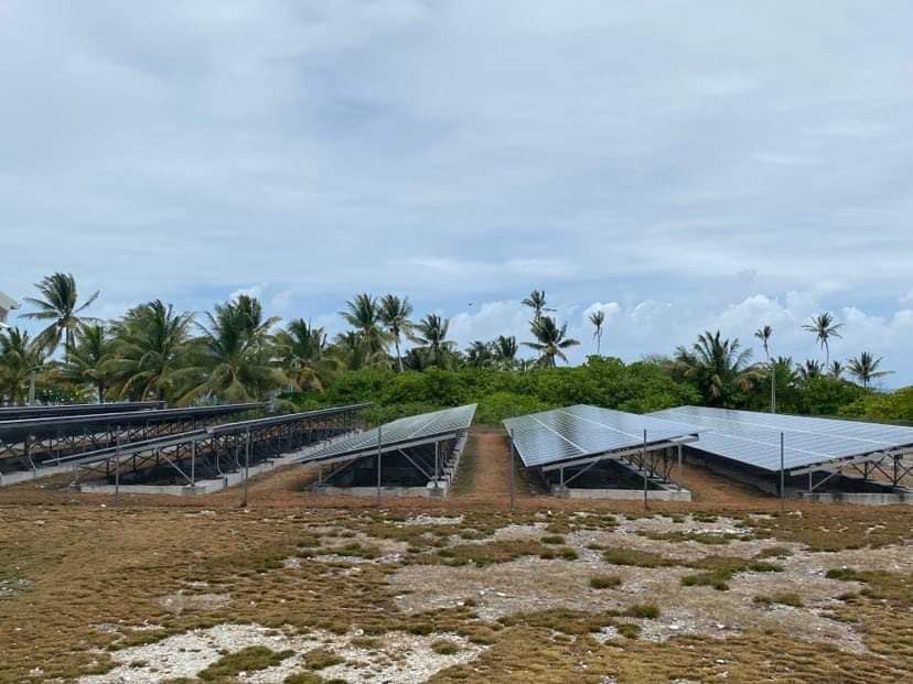
Solar power battery repairs ‘could take up to 12 months’
15 April 2024
Economy
Cook Islands poised for highest Pacific growth
29 April 2024
Economy

Court
Ex-DPM appeals ‘excessive sentence’, hearing date set
26 April 2024

Crime
Economy
Environment
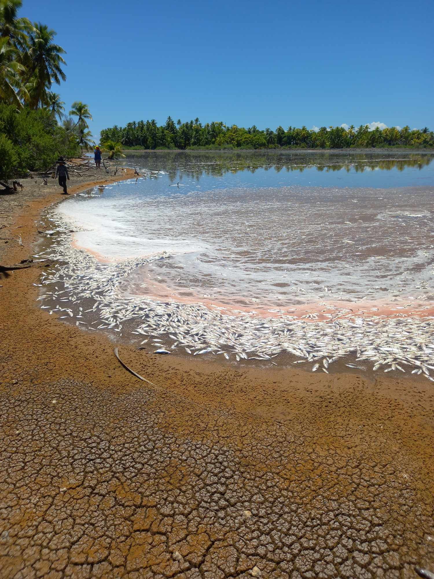
Mass milkfish die-off in Penrhyn raises concerns
3 April 2024

National
Regulator defends Starlink users
9 April 2024

Economy

League
Cook Islands set to play in new World Series
10 October 2023

Economy

Economy
Corruption report exposes ‘bribe and sexual favours’
17 January 2023

Rugby league
Moana target 2025 World Cup
11 November 2022
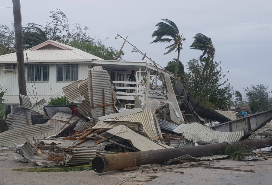
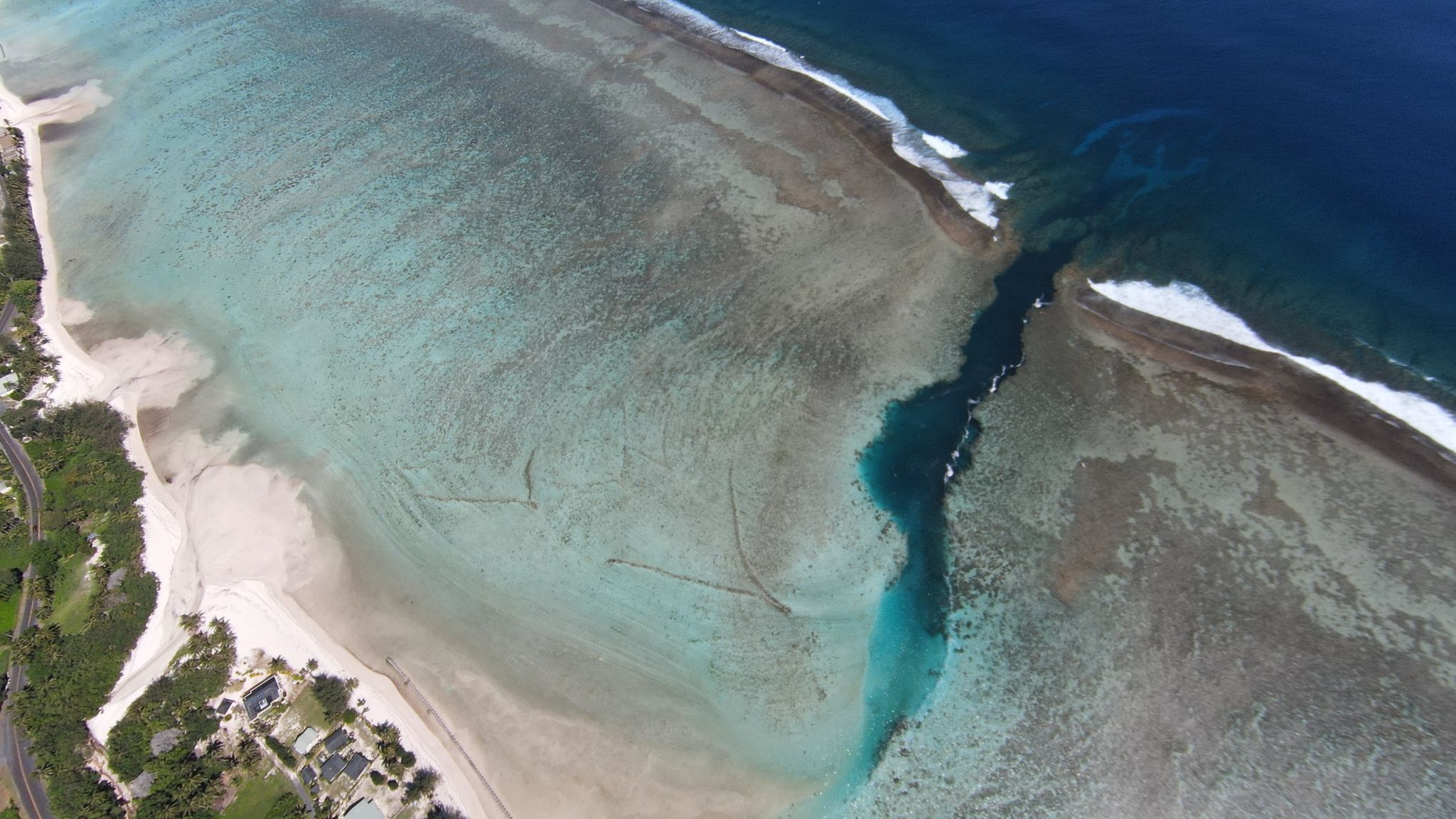
Cyclone Gita caused widespread damage in Tonga, heightening the importance of geospatial information in assessing damage.
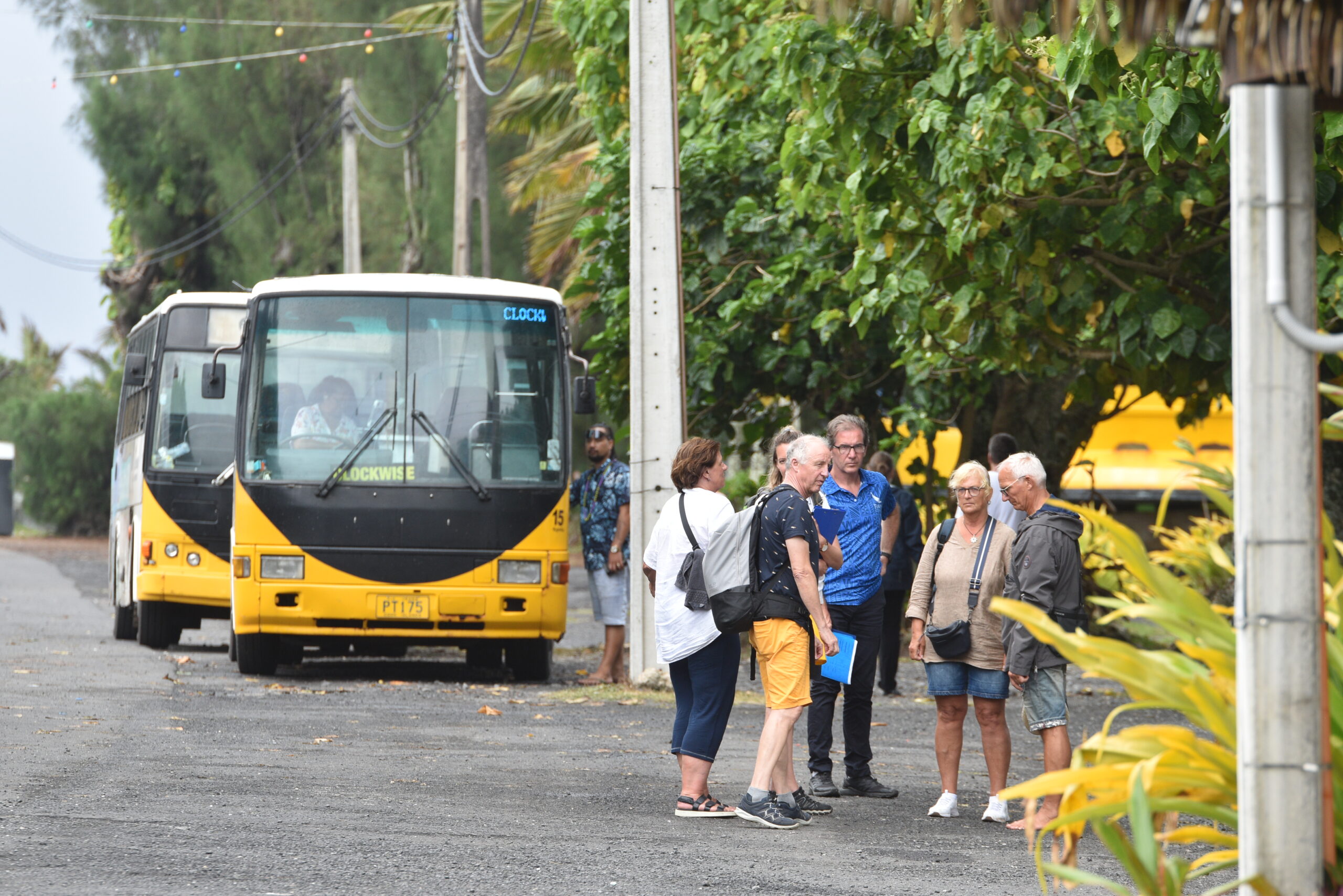
The Cook Islands has become a part of the world’s first regional strategy for surveying and geospatial capacity development.
The Cook Islands has become a part of the world’s first regional strategy for surveying and geospatial capacity development.
To continue reading this article and to support our journalism
CLICK HERE TO SUBSCRIBE NOW
for as little as $11 per month.
- Up to date and breaking news
- Includes access to Premium content
- Videos and online classifieds
Already a subscriber, click here