


More Top Stories
Solar power battery repairs ‘could take up to 12 months’
15 April 2024
Cook Islands poised for highest Pacific growth
29 April 2024

Alleged rapist in remand
27 April 2024
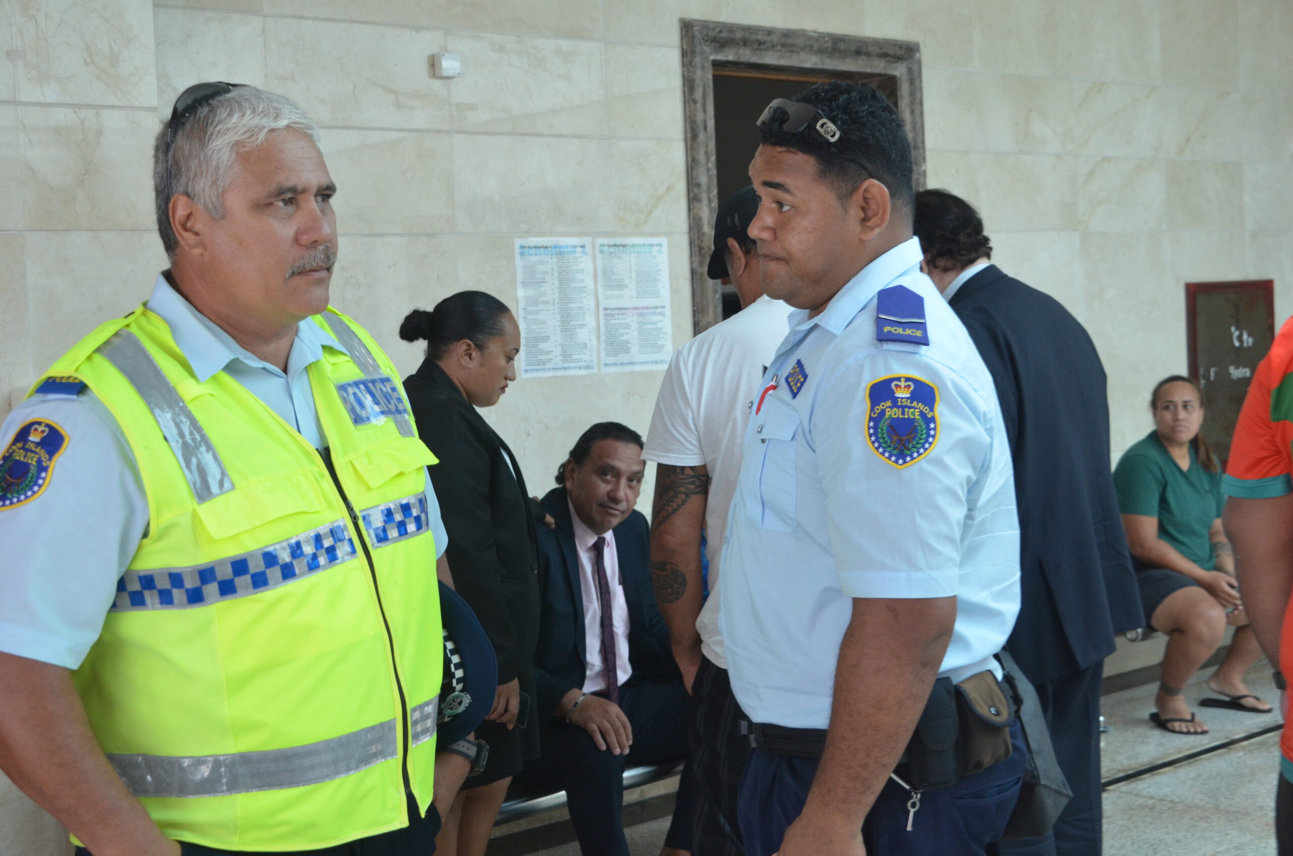
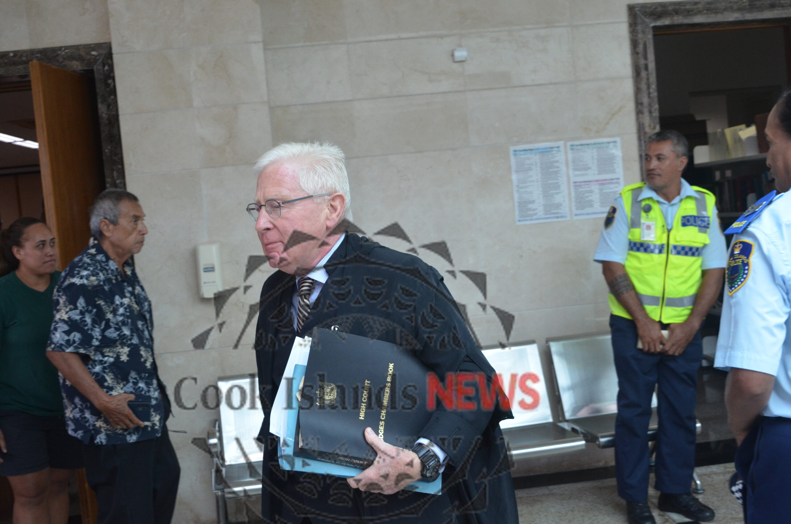
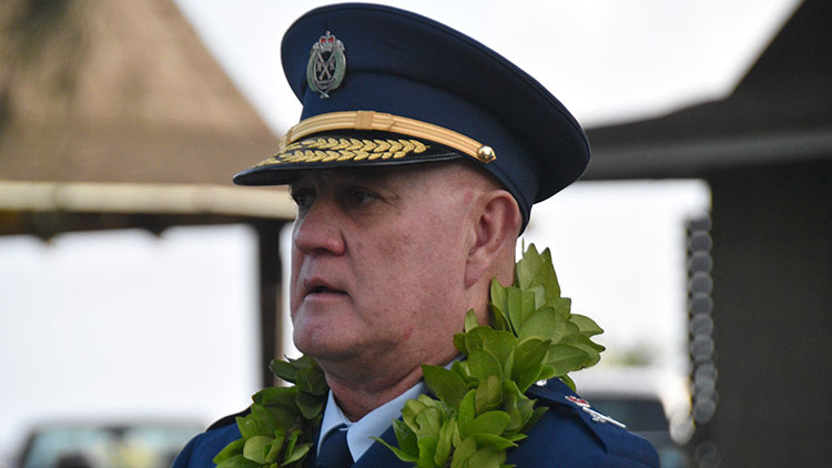
Ex-DPM appeals ‘excessive sentence’, hearing date set
26 April 2024
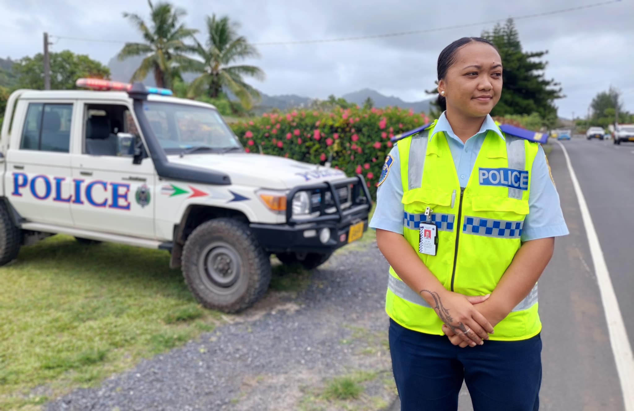
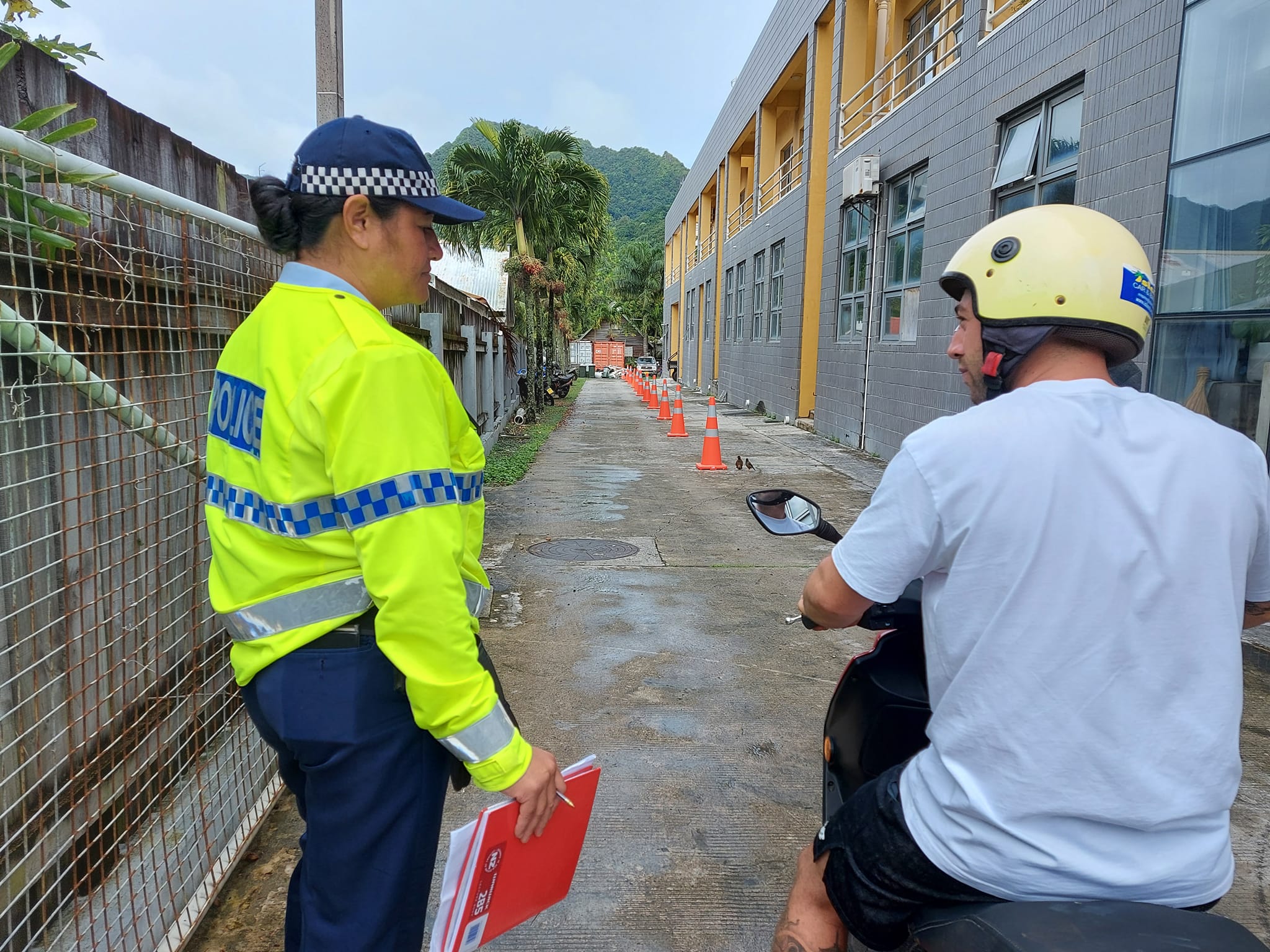
Police shortage leads to drop in checkpoints
9 April 2024

Sarakura declared new Penrhyn MP
16 March 2024
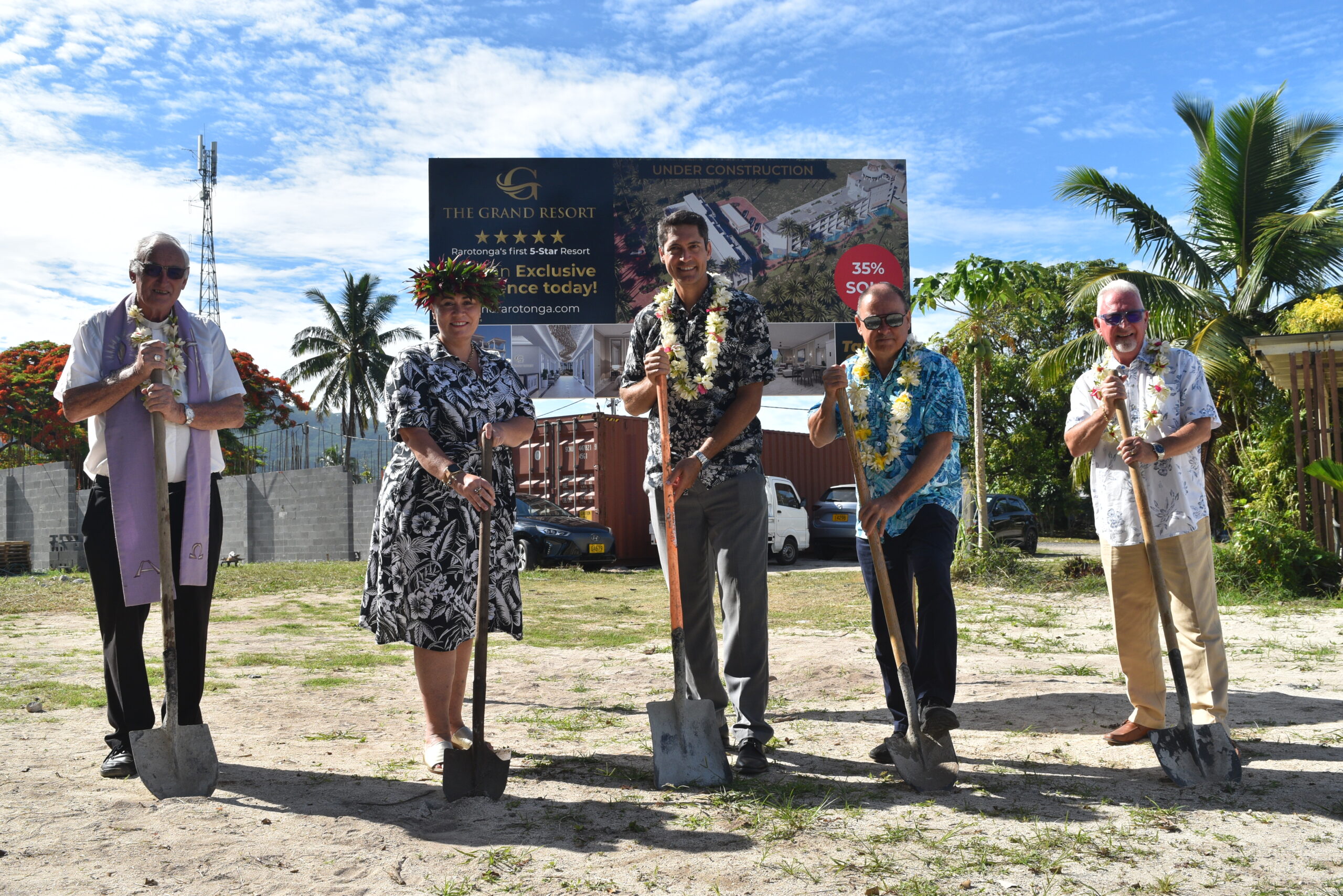
Govt says $1.3m invested in Lady Samoa charter
22 February 2024

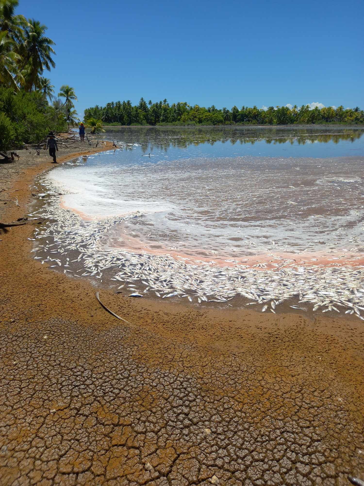
Mass milkfish die-off in Penrhyn raises concerns
3 April 2024
Regulator defends Starlink users
9 April 2024

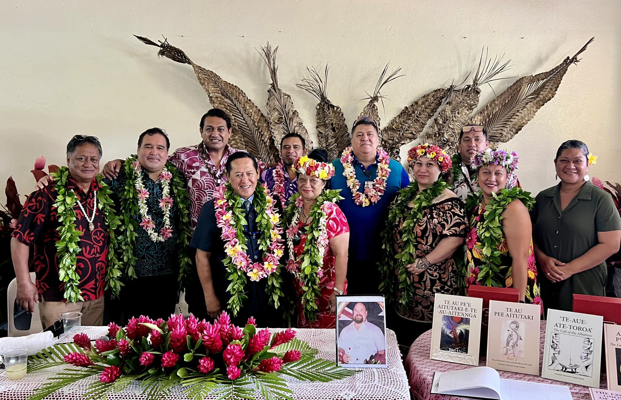
Aitutaki’s heritage preserved in new anthology
4 January 2024

Avatiu Eels retain Nines title
8 January 2024
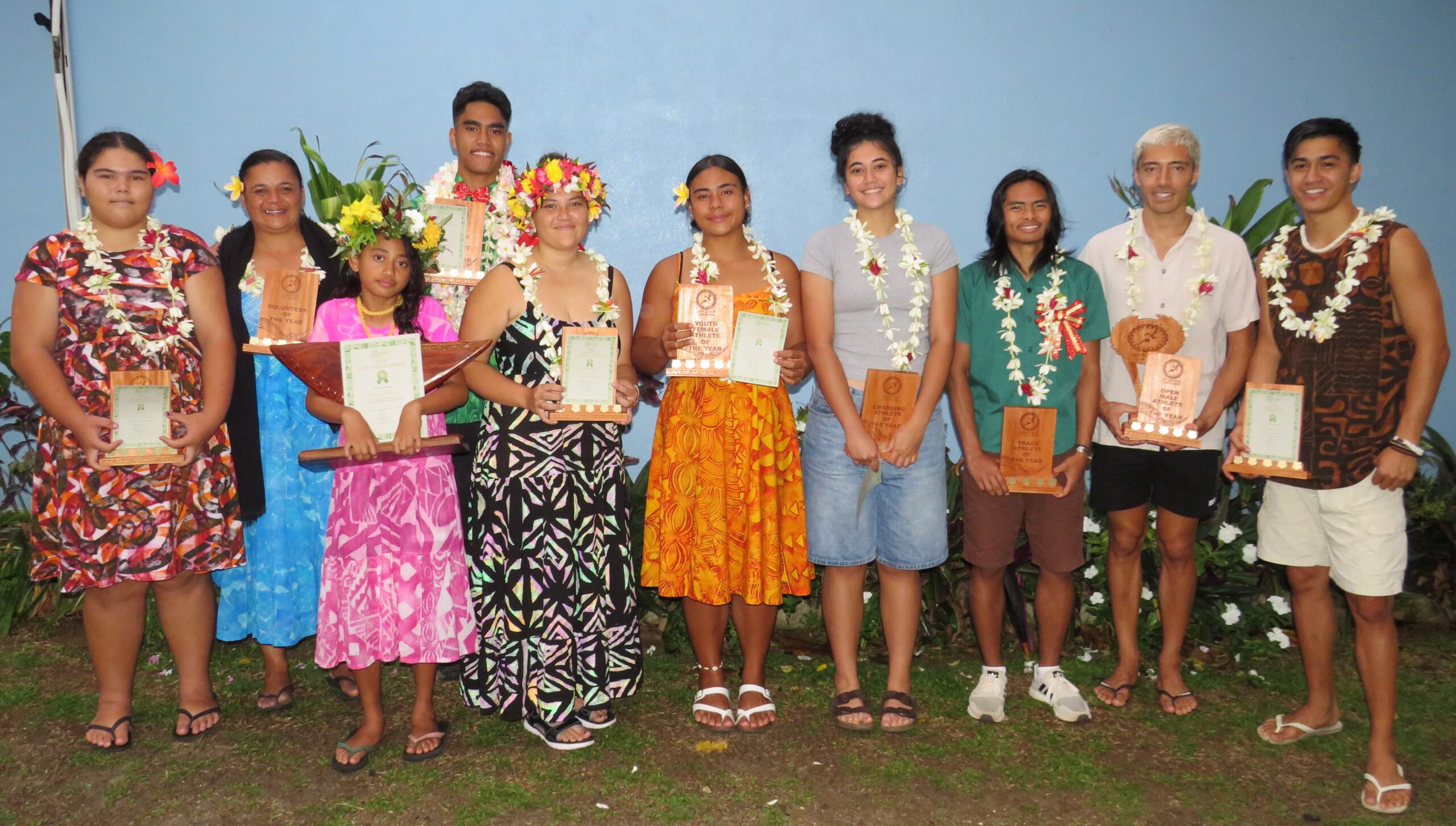
Beddoes crowned top athlete
8 January 2024

NRL player Dargan dies in Aitutaki motorcycle crash
24 December 2023

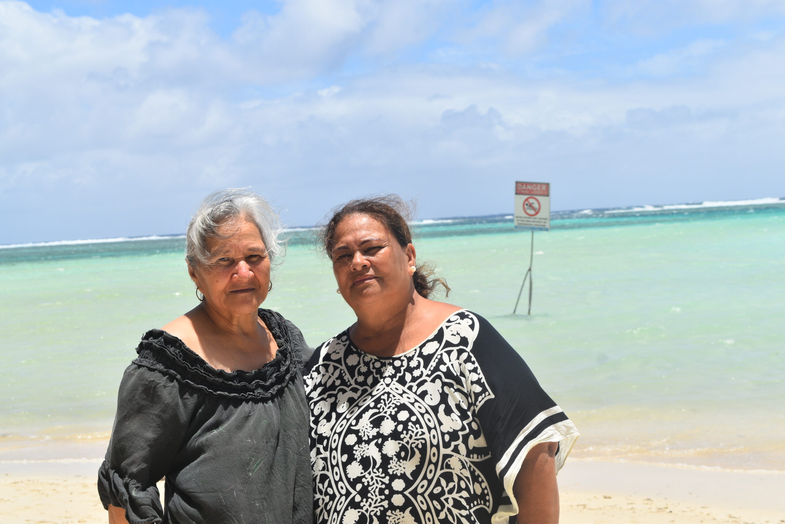
‘Please heed the signs’: resident makes plea to tourists
20 December 2023

Cook Islands set to play in new World Series
10 October 2023


Corruption report exposes ‘bribe and sexual favours’
17 January 2023
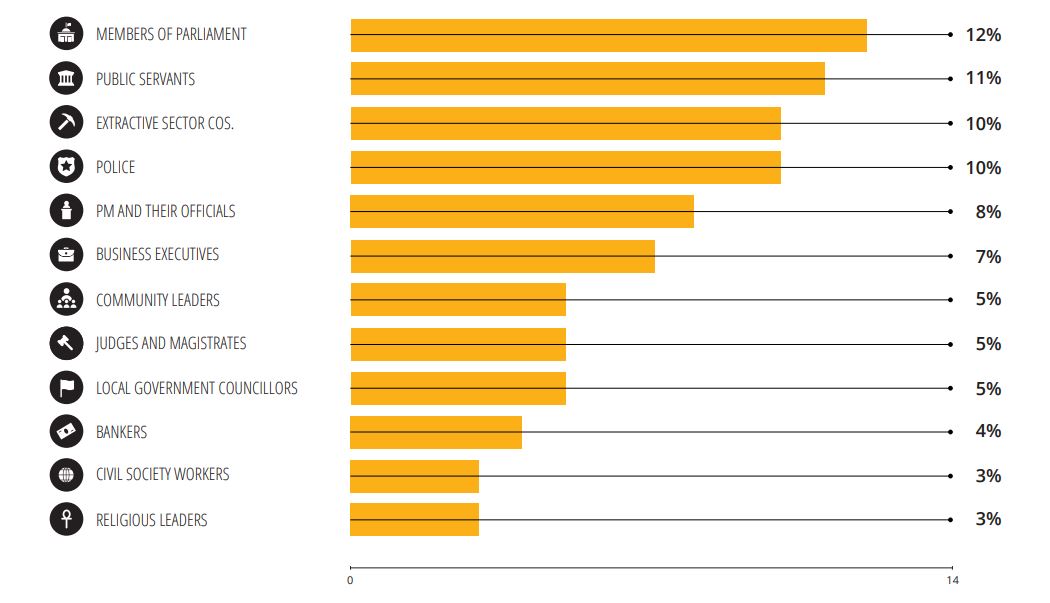
Corruption in the Cook Islands?
21 January 2023

Moana target 2025 World Cup
11 November 2022
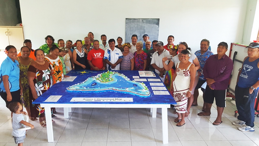
Members of the Aitutaki community with their model of the island at the handover ceremony. 18022805
A Participatory 3-Dimensional (P3D) map of Aitutaki has been completed and handed over to the Aronga Mana and Aitutaki community after a three-member team from the Cook Islands National Environment Service (NES) travelled to the island for a week-long community workshop last month.
A Participatory 3-Dimensional (P3D) map of Aitutaki has been completed and handed over to the Aronga Mana and Aitutaki community after a three-member team from the Cook Islands National Environment Service (NES) travelled to the island for a week-long community workshop last month.
To continue reading this article and to support our journalism
CLICK HERE TO SUBSCRIBE NOW
for as little as $11 per month.
- Up to date and breaking news
- Includes access to Premium content
- Videos and online classifieds
Already a subscriber, click here