


More Top Stories

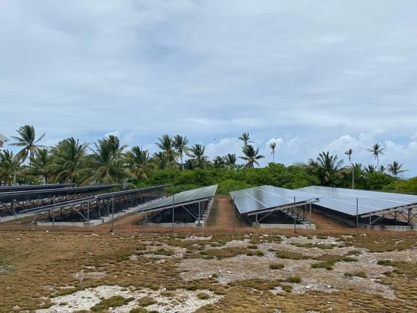
Solar power battery repairs ‘could take up to 12 months’
15 April 2024


Cook Islands poised for highest Pacific growth
29 April 2024


Alleged rapist in remand
27 April 2024

Ex-DPM appeals ‘excessive sentence’, hearing date set
26 April 2024


Police shortage leads to drop in checkpoints
9 April 2024


Sarakura declared new Penrhyn MP
16 March 2024


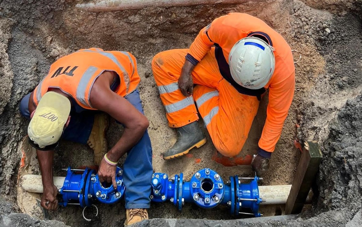
Govt says $1.3m invested in Lady Samoa charter
22 February 2024


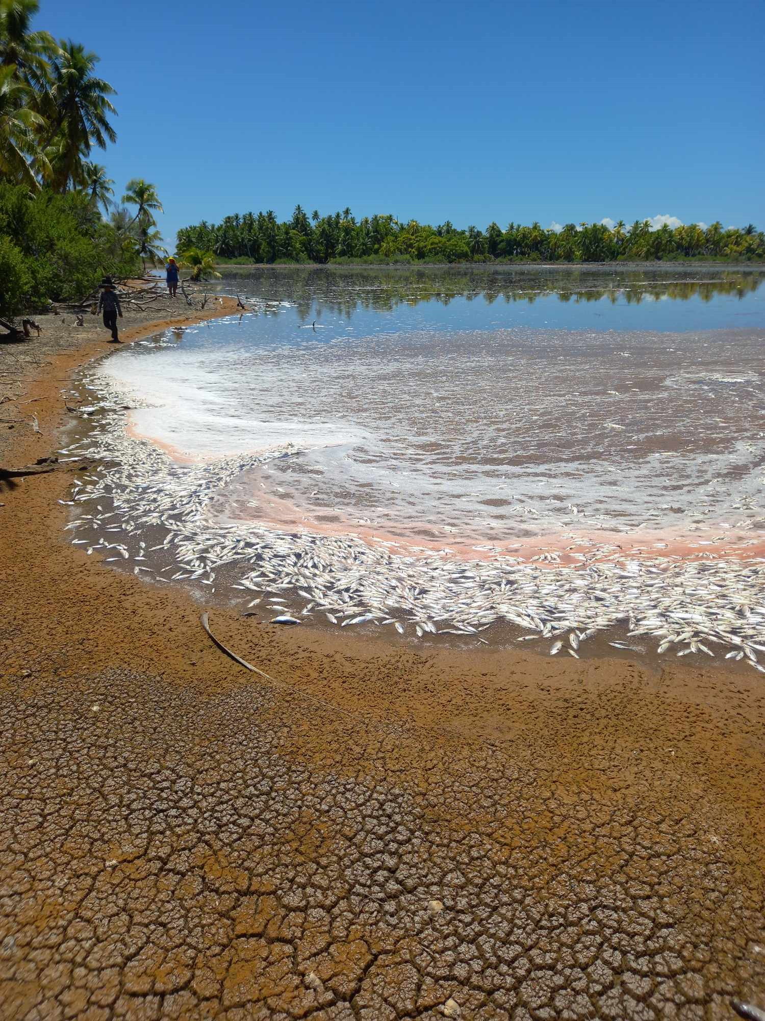
Mass milkfish die-off in Penrhyn raises concerns
3 April 2024

Regulator defends Starlink users
9 April 2024


Aitutaki’s heritage preserved in new anthology
4 January 2024

Avatiu Eels retain Nines title
8 January 2024

Beddoes crowned top athlete
8 January 2024

NRL player Dargan dies in Aitutaki motorcycle crash
24 December 2023


‘Please heed the signs’: resident makes plea to tourists
20 December 2023

Cook Islands set to play in new World Series
10 October 2023


Corruption report exposes ‘bribe and sexual favours’
17 January 2023
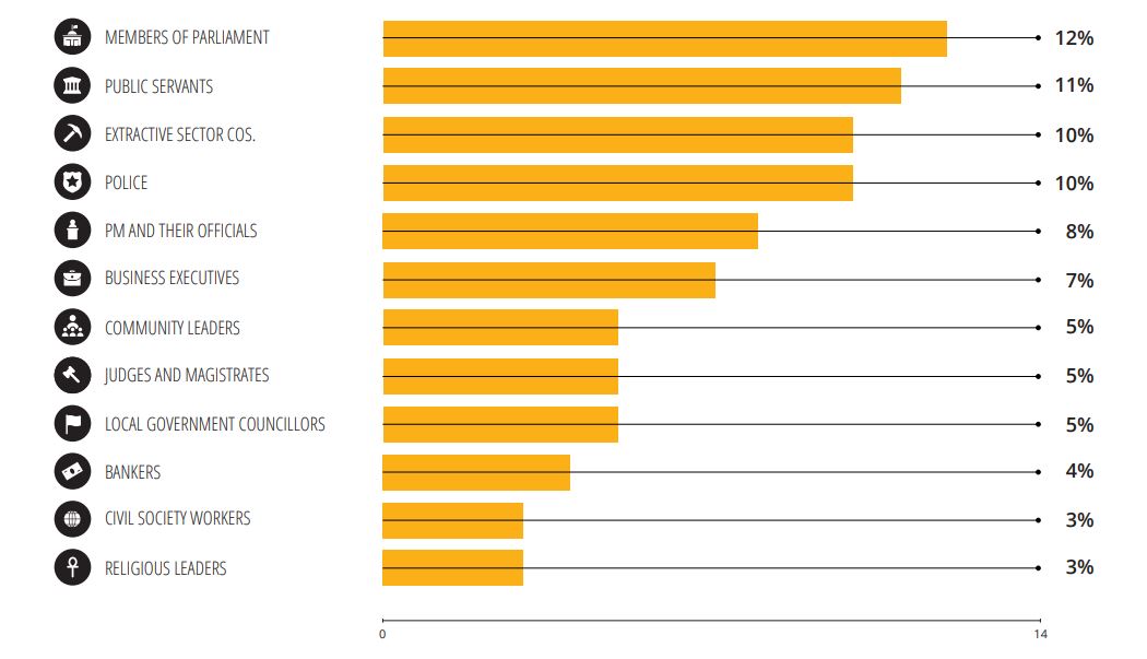
Corruption in the Cook Islands?
21 January 2023

Moana target 2025 World Cup
11 November 2022
AUCKLAND – Cyclone Pam has been upgraded to the strongest storm category possible as it batters New Zealand’s neighbours and heads south.
Northeastern parts of New Zealand were advised to brace for destructive weather in days ahead as a result of Pam.
People in and around Gisborne, the East Cape and Hawke’s Bay should keep an especially close eye on weather forecasts as Pam approached.
“There’s still a fair bit of uncertainty as to how that system will move. But it does look like we are going to find some pretty damaging conditions as we head through to the start of next week,” meteorologist John Law told TV3 this morning.
MetService Meteorologist Georgina Griffiths last night said the eastern North Island could possibly get “the full trifecta” of impacts, these being damaging seas along the eastern coastline, gale to severe gale south-easterly winds, and the possibility of heavy rain.
WeatherWatch.co.nz reported yesterday evening that winds around the upper North Island, north of Auckland, were already caught up in the flow of Cyclone Pam.
“This is a monster storm – we don’t say that lightly, a cyclone with this energy only comes down to New Zealand about once every 20 or 30 years.
“It’s a positive sign that most reliable computer models are suggesting Pam will sideswipe north eastern New Zealand out to the east – but all North Islanders north of Waikato and Hawkes Bay should be closely monitoring the regular updates across the next few days,” WeatherWatch analyst Philip Duncan told NewstalkZB.
Gisborne and Bay of Plenty Civil Defence issued a warning for residents to be prepared.