

More Top Stories

Man found guilty of rape, burglary
24 September 2024

Tenants face water bill burden
8 October 2024


BRO CHECK campaign: ‘Reach out, you’re not alone’
8 October 2024


Concerns over Minister’s role in inmate work releases: PAC
5 October 2024

Tourism contribution set to surpass half-billion dollar mark
25 September 2024

Parliament’s 12 sitting days sufficient for business: Clerk
24 September 2024

Parliament Clerk sparks outrage over deep sea mining statement
23 September 2024
Parliament’s 12 sitting days sufficient for business: Clerk
24 September 2024

Tapaitau and Charlie-Puna released to ‘family jobs’
21 September 2024

3000 companies at risk due to Act oversight: Browne
23 September 2024
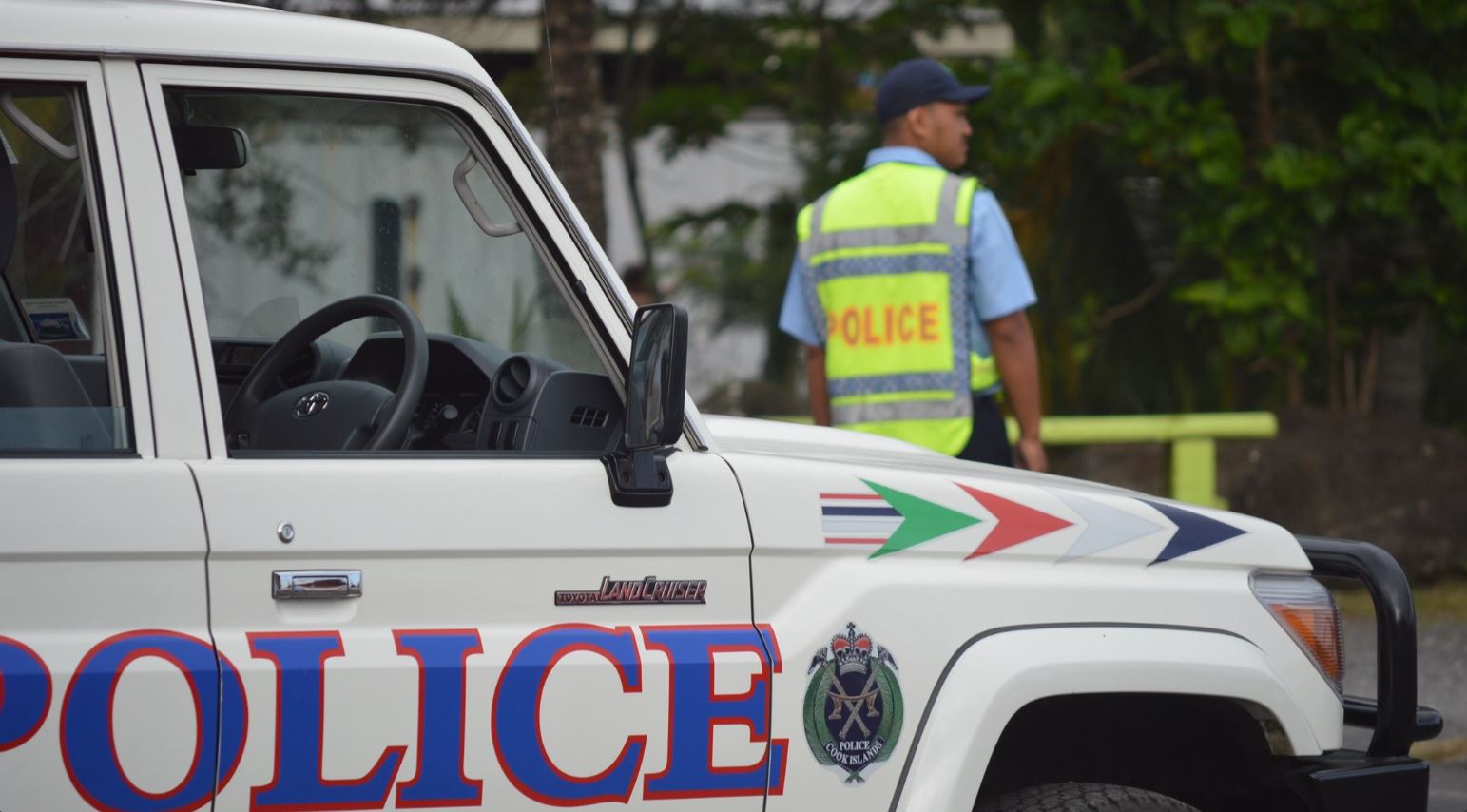
Police apprehend four juveniles in connection with motorcycle thefts
23 September 2024

Deep sea dilemma: Cook Islanders weigh the cost of mineral riches
21 September 2024
Anxiety on the rise: Cook Islands faces mental health challenge
7 September 2024

Cook Islands deep sea mining poll sparks controversy
7 September 2024

Helmet safety concerns raised amid enforcement challenges
2 September 2024

MCI rejects ‘dark fleet’ label
3 August 2024

STI cases on the rise
2 September 2024

Rising seas, rising costs: Climate impacts on Cook Islands economy
2 September 2024

Inflation eases but concerns remain
31 August 2024


Prime Minister defends $659,000 MPs travel bill
23 August 2024

Taxpayers foot $659,000 bill for MPs travel and allowance
22 August 2024

Corruption report exposes ‘bribe and sexual favours’
17 January 2023

PM Brown eager to hand over Forum chair role to Tonga
13 August 2024


ICI explains road works delay in front of old Sheraton site
10 August 2024


Diaspora dismayed over lack of Te Maeva Nui livestream
8 August 2024

Everyone is a winner, says Culture
7 August 2024
Local women outshine global peers in business leadership
8 August 2024


Housing crisis hits tourism industry
27 July 2024
MCI rejects ‘dark fleet’ label
3 August 2024


Tapaitau appeal dismissed
17 July 2024

Challenging ‘rape culture’
8 July 2024


Another tropical cyclone is predicted this week. The regional Nadi Weather Office predicts that a new tropical cyclone will form later this week.
Director Rajendra Prasad said yesterday that weather conditions between Samoa and the Northern Cook Islands are such that a tropical cyclone is expected to form by Friday and move closer to Fiji.
The weathergram.blogspot.com reported that the South Pacific Convergence Zone remains very active along 5 to 10S across the South Pacific, especially between Tokelau and Northern Cooks.
“Computers are picking a further development in the area northeast of Samoa being born between Thursday February 18 and Tuesday February 23 (models are still differing on timing). “The next name on the cyclone list is Sarah. Current output indicates this system may move south sort of midway between Niue and Aitutaki/Rarotonga – however there is still plenty of time for it to take another path.”
Meanwhile, climate and weather organisations across the Pacific are still predicting near normal tropical cyclone activity across the southwest Pacific for the rest of the season through to April. On average, nine tropical cyclones occur in the region each cyclone season (Nov-Apr).
New Zealand’s National Institute of Water & Atmospheric Research (NIWA) has issued the tropical cyclone outlook on behalf of collaborating organisations from New Zealand, the United States, Fiji, Australia, French Polynesia, and the Cook Islands.
The updated outlook for the second half of the season says that near normal tropical cyclone activity is likely for most countries in the southwest Pacific during the remainder of the cyclone season from February to April. Countries east of the date line, including Niue, Tonga, and the Southern Cook Islands are at higher risk than normal because of El Nio conditions. Parts of southwest French Polynesia (Society and Austral Islands) can be affected by tropical cyclones during El Nio, so these islands should also remain vigilant.
NIWA explained the outlook in more detail:
El Nio conditions currently exist in the region. Equatorial sea surface temperature anomalies are positive and the atmosphere has shown a classic low pressure anomaly over southern French Polynesia, with higher pressures over eastern Australia for most of summer. The expectation is that near normal tropical cyclone (TC) activity will occur for most countries in the southwest Pacific during the remainder of the season February – April. Communities should remain alert and prepared.
As previously forecast for this season, TC activity is expected to be near normal with 8–11 TCs expected over the November 2009 – April 2010 period for the southwest Pacific. On average, nine tropical cyclones occur each year for the southwest Pacific region. Southwest Pacific TCs are grouped into classes ranging from 1 to 5, with 5 being the most dangerous. For the present season, two or three storms were forecast to reach at least Category 3, and one storm was expected to reach at least Category 4, with mean wind speeds of at least 64 knots or 118 km/h.
Updated projections show an increased risk of tropical cyclones for the 2009–10 season exist to the east of the date line, particularly for the Southern Cook Islands. Increased risk east of the date line also exists for Niue and Tonga. To the west, there is also increased risk for the Solomon Islands. It should be noted that TCs can affect parts of southwest French Polynesia (Society and Austral Islands) during El Nio.
These islands should remain vigilant as El Nio continues to evolve with progression into austral autumn.
Though a moderate El Nio exists, the number of TCs entering a 550km radius of the New Zealand coast is expected to remain about normal. On average, every other year one TC affects New Zealand during the last half of the season.