

More Top Stories

Man found guilty of rape, burglary
24 September 2024

Tenants face water bill burden
8 October 2024


BRO CHECK campaign: ‘Reach out, you’re not alone’
8 October 2024


Concerns over Minister’s role in inmate work releases: PAC
5 October 2024

Tourism contribution set to surpass half-billion dollar mark
25 September 2024

Parliament’s 12 sitting days sufficient for business: Clerk
24 September 2024

Parliament Clerk sparks outrage over deep sea mining statement
23 September 2024
Parliament’s 12 sitting days sufficient for business: Clerk
24 September 2024

Tapaitau and Charlie-Puna released to ‘family jobs’
21 September 2024

3000 companies at risk due to Act oversight: Browne
23 September 2024
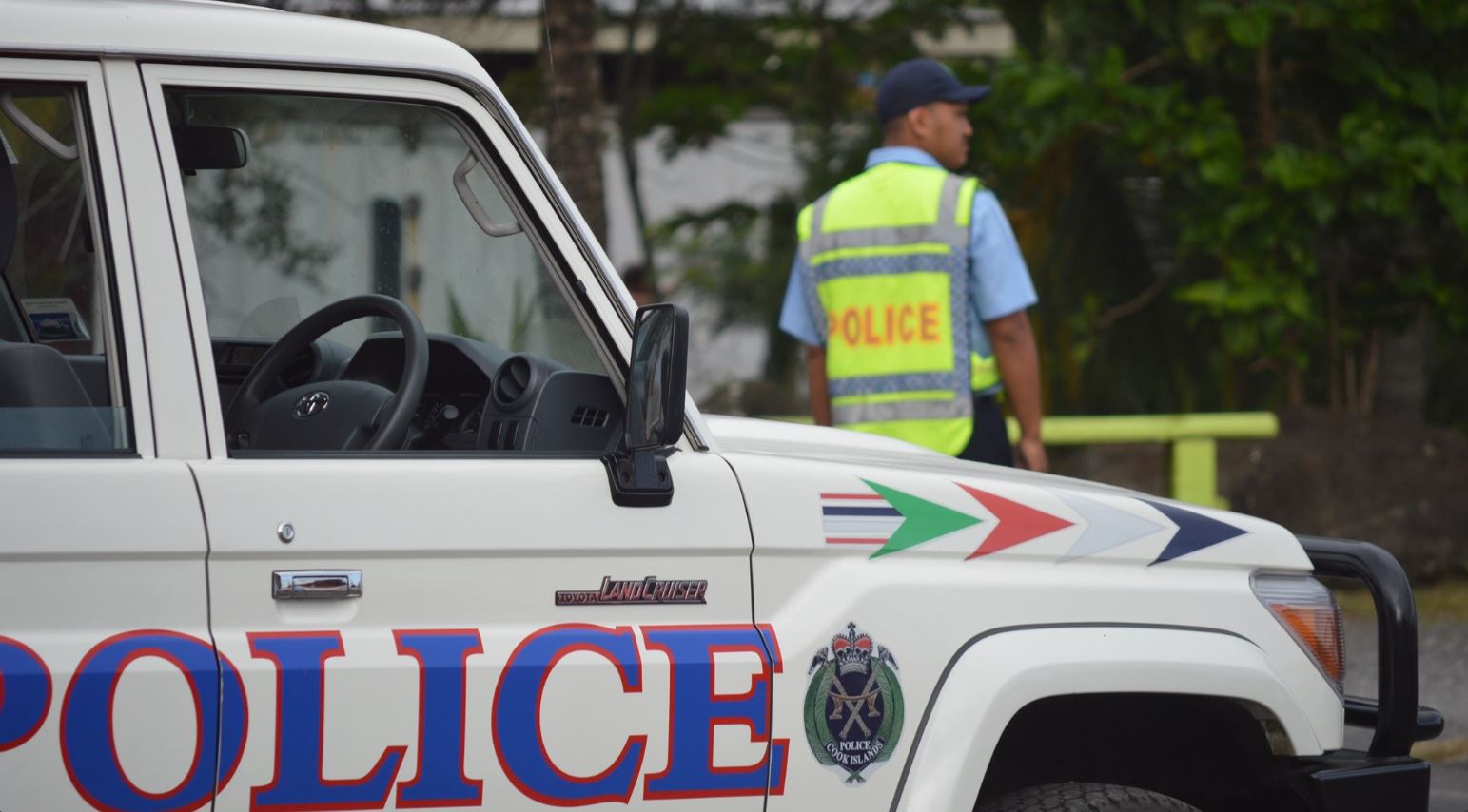
Police apprehend four juveniles in connection with motorcycle thefts
23 September 2024

Deep sea dilemma: Cook Islanders weigh the cost of mineral riches
21 September 2024
Anxiety on the rise: Cook Islands faces mental health challenge
7 September 2024

Cook Islands deep sea mining poll sparks controversy
7 September 2024

Helmet safety concerns raised amid enforcement challenges
2 September 2024

MCI rejects ‘dark fleet’ label
3 August 2024

STI cases on the rise
2 September 2024

Rising seas, rising costs: Climate impacts on Cook Islands economy
2 September 2024

Inflation eases but concerns remain
31 August 2024


Prime Minister defends $659,000 MPs travel bill
23 August 2024

Taxpayers foot $659,000 bill for MPs travel and allowance
22 August 2024

Corruption report exposes ‘bribe and sexual favours’
17 January 2023

PM Brown eager to hand over Forum chair role to Tonga
13 August 2024


ICI explains road works delay in front of old Sheraton site
10 August 2024


Diaspora dismayed over lack of Te Maeva Nui livestream
8 August 2024

Everyone is a winner, says Culture
7 August 2024
Local women outshine global peers in business leadership
8 August 2024


Housing crisis hits tourism industry
27 July 2024
MCI rejects ‘dark fleet’ label
3 August 2024


Tapaitau appeal dismissed
17 July 2024

Challenging ‘rape culture’
8 July 2024


Large waves and strong winds warning in place
Monday 15 August 2022 | Written by Matthew Littlewood | Published in National, Weather
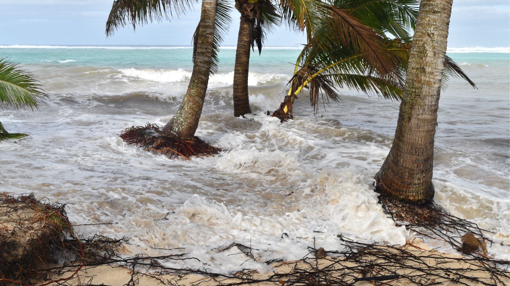
Photo: CALEB FOTHERINGHAM
An ‘unfavourable’ weather pattern has been detected for early this week, with Emergency Management Cook Islands urging people to take precautions.
Emergency Management Cook Islandsdirector John Strickland said large waves and strong wind conditions are expected for the Southern Cook Islands mid-week, increasing from Tuesday evening, peaking on Wednesday evening but persisting throughout Thursday.
“We also have large tides during this period,” Strickland said.
“People in south-eastern coastal areas of Rarotonga between Muri and Titikaveka should monitor conditions and keep a close eye on all equipment on beaches and within the lagoon during the times of high tide, and be cautious of strong currents if participating in lagoon activities.”
Strickland said while it was important to prepare for the event, it did not look like it was going to be as destructive as the king tide event in July which damaged several businesses including The Rarotongan Resort.
“We’re advising people not to panic and be prepared,” Strickland said.
Strickland said the pressure areas would likely be Takitumu (Ngatangiia, South Easterly side) and Titikaveka corner of the southerly side from Ngatangiia.
Cook Islands Meteorological Service director Arona Ngari said the event would affect all of the Southern Cook Islands, and would focus itself on Rarotonga in the coming days.
“It’s caused by a high-pressure system coming across the island in the next couple of days. This will bring enhanced southeasterly winds, and swells up to 4.5 metres in the southeast parts of Rarotonga,” Ngari said.
“The community needs to be aware of the hazards. It is quite common for events of this size to occur during this time of the year, where the waves are larger than normal.”
Ngari earlier said although July’s event was not caused by a cyclone, the extent of the damage was comparable to Cyclone Heta in January 2004, which damaged the seawall next to the Met Office in Nikao, Rarotonga.
Asked on Sunday whether Rarotonga had experienced some bad luck given the recent weather events in July, Ngari said: “I suppose events like July were a reminder for people about the damage severe weather events can cause. Something like what happened in July was felt by the community.”
Strickland said the key risk will be during the high tide periods, which are on Wednesday: 12:30am – 2:30am and 12:30pm – 2:30pm, and on Thursday 1am – 3am, and 1pm – 3pm
Ngari said the Cook Islands Tourism Corporation should have very thorough contingency plans in place for the event.
“They’ll be working with us and Emergency Management Cook Islands. In the meantime, we advise tourists in the affected areas to go to safe grounds and be away from the high tides during those days,” he said.