

More Top Stories
Solar power battery repairs ‘could take up to 12 months’
15 April 2024

Police shortage leads to drop in checkpoints
9 April 2024

Sarakura declared new Penrhyn MP
16 March 2024
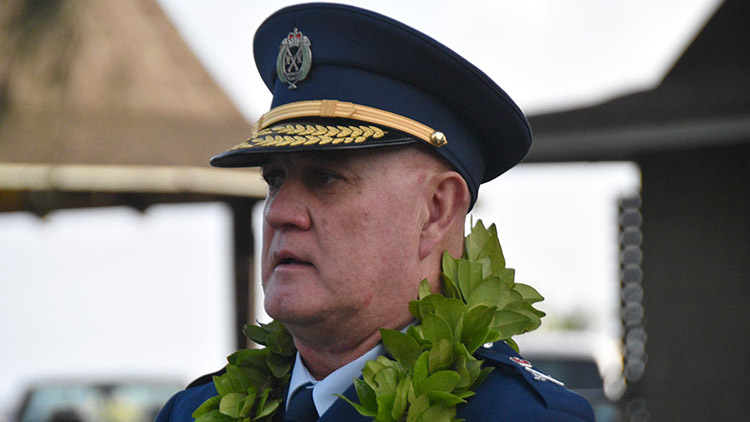
Govt says $1.3m invested in Lady Samoa charter
22 February 2024

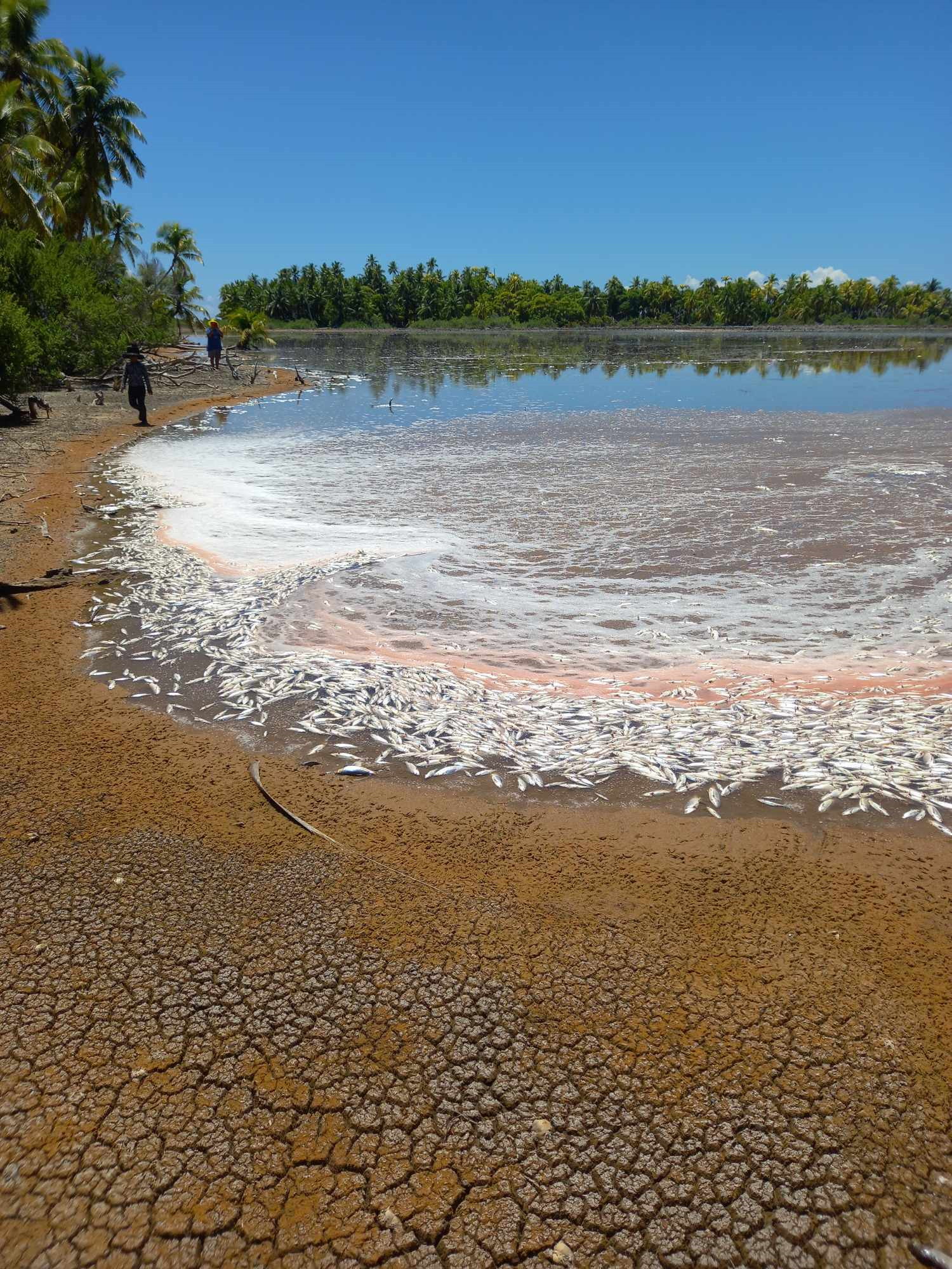
Mass milkfish die-off in Penrhyn raises concerns
3 April 2024

Regulator defends Starlink users
9 April 2024


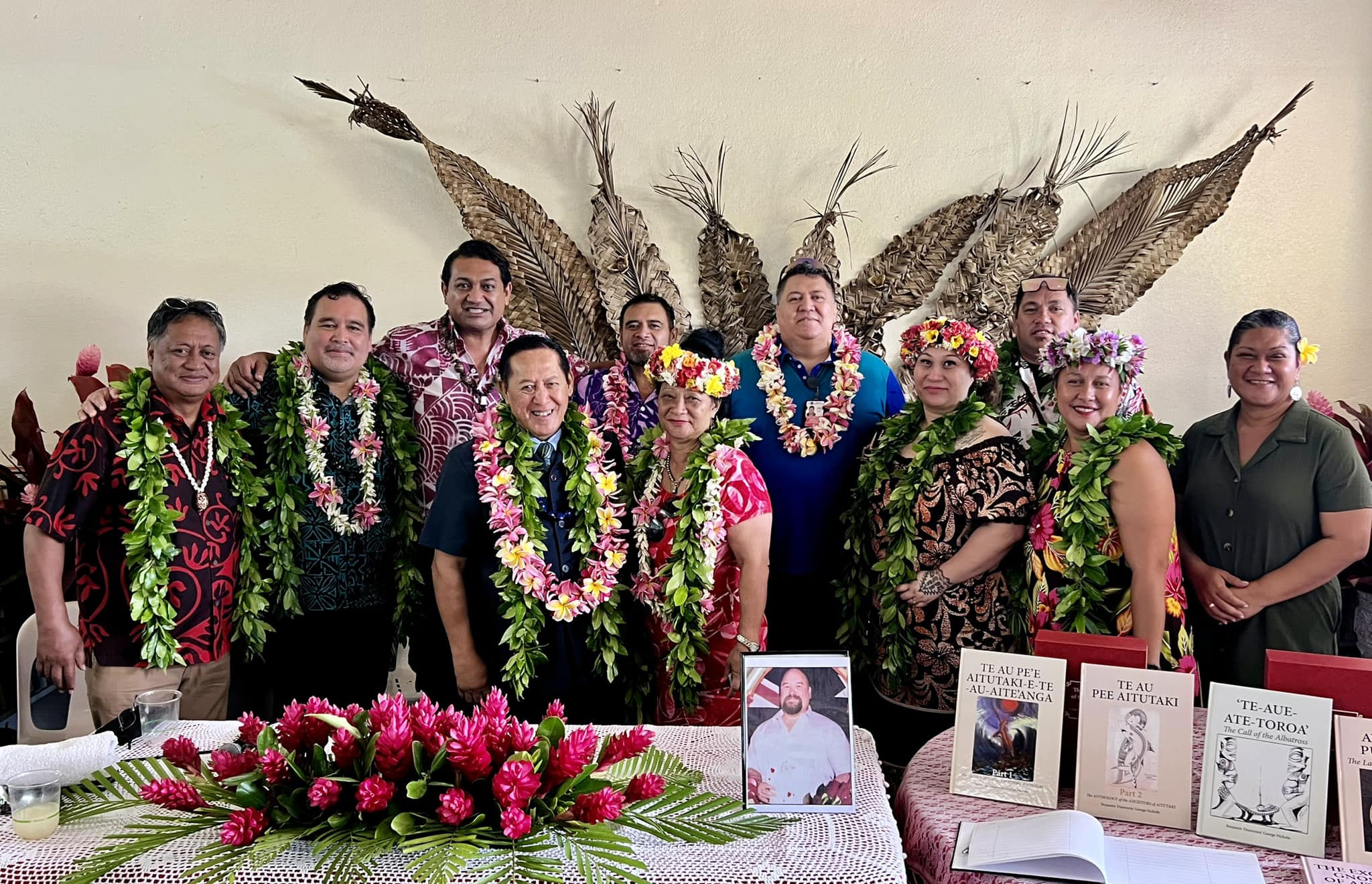
Aitutaki’s heritage preserved in new anthology
4 January 2024

Avatiu Eels retain Nines title
8 January 2024

Beddoes crowned top athlete
8 January 2024

NRL player Dargan dies in Aitutaki motorcycle crash
24 December 2023

‘Please heed the signs’: resident makes plea to tourists
20 December 2023

Cook Islands set to play in new World Series
10 October 2023


Corruption report exposes ‘bribe and sexual favours’
17 January 2023
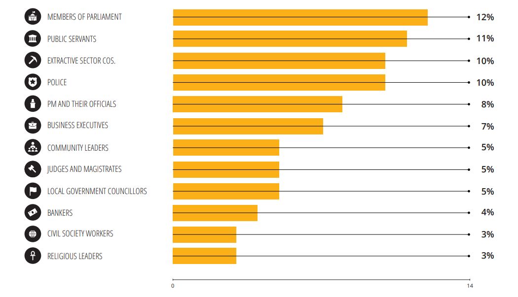
Corruption in the Cook Islands?
21 January 2023

Moana target 2025 World Cup
11 November 2022
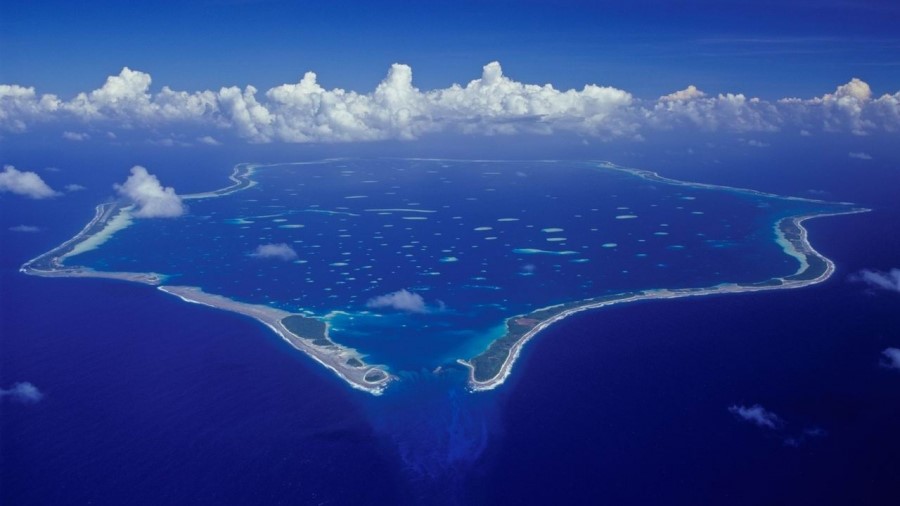
Sea level rise study in Marshall Islands paints a grim picture
Friday 29 October 2021 | Written by RNZ | Published in Marshall Islands, Regional
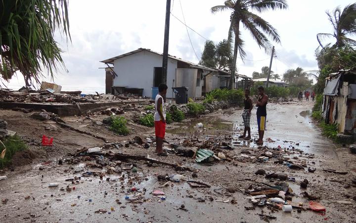
This 2014 photo shows the aftermath of a high tide storm surge in Majuro, the capital of the Marshall Islands. Photo: Marshall Islands Journal
A new study shows rising sea levels in the Marshall Islands will endanger 40 percent of buildings in Majuro, with 96 percent of the city likely to flood frequently.
The study 'Adapting to Rising Sea Levels in Marshall Islands' is compiled by the Marshalls Government and the World Bank.
It provides visual projections and adaptation options to assist the Marshalls in tackling rising sea levels and inundation over the next 100 years.
As COP26 begins in Glasgow, the new visualisations demonstrate the existential threat the Marshall Islands faces.
If existing sea level rise trends continue, the country will confront a series of increasingly costly adaptation choices to protect essential infrastructure.
World Bank senior municipal engineer and the leader of the study, Artessa Saldivar-Sali, said these visual models give insights that have not been available before.
She said these will be critical for decision-makers to understand the potential benefits of adaptation options, such as sea walls, nature-based solutions and land raising.
Ms Saldivar-Sali said the modelling paints a clear picture of the need for significant investment in adaptation for, and by, atoll nations like Marshall Islands.